Adobe Hills
| Adobe Hills | |
|---|---|
 Basalt outcrop in the Adobe Hills | |
| Highest point | |
| Elevation | 2,322 m (7,618 ft) |
| Geography | |
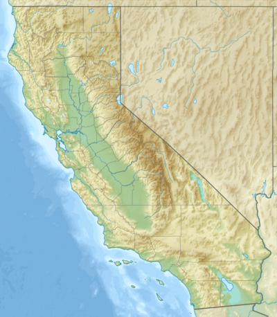 Location of Adobe Hills in California [1] | |
| Country | United States |
| State | California |
| District | Mono County |
| Range coordinates | 37°59′48″N 118°39′26″W / 37.9966°N 118.6571°WCoordinates: 37°59′48″N 118°39′26″W / 37.9966°N 118.6571°W |
| Topo map | USGS Indian Meadows |
The Adobe Hills are a low mountain range located in Mono County, Eastern California.[1]
See also
References
- 1 2 "Adobe Hills". Geographic Names Information System. United States Geological Survey. Retrieved 2009-05-04.
External links
| Wikimedia Commons has media related to Adobe Hills (California). |
This article is issued from Wikipedia - version of the 12/26/2015. The text is available under the Creative Commons Attribution/Share Alike but additional terms may apply for the media files.