Aeropuerto de San Antonio Oeste
| San Antonio Oeste Airport Aeropuerto de San Antonio Oeste | |||||||||||
|---|---|---|---|---|---|---|---|---|---|---|---|
| IATA: none – ICAO: SAVO | |||||||||||
| Summary | |||||||||||
| Airport type | Public | ||||||||||
| Serves | San Antonio Oeste | ||||||||||
| Location |
| ||||||||||
| Elevation AMSL | 20 ft / 6 m | ||||||||||
| Coordinates | 40°43′48.6″S 064°59′16.2″W / 40.730167°S 64.987833°WCoordinates: 40°43′48.6″S 064°59′16.2″W / 40.730167°S 64.987833°W | ||||||||||
| Map | |||||||||||
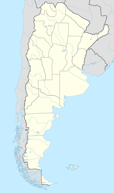 SAVO Location of San Antonio Oeste Airport in Argentina | |||||||||||
| Runways | |||||||||||
| |||||||||||
San Antonio Oeste Airport (Spanish: Aeropuerto de San Antonio Oeste, ICAO: SAVO) is a public use airport located 2 kilometres (1 mi) northwest of San Antonio Oeste, Río Negro, Argentina.
See also
this list should be expanded
References
- ↑ Airport record for San Antonio Oeste Airport at Landings.com. Retrieved 2013-09-02
- ↑ Google (2013-09-02). "location of San Antonio Oeste Airport" (Map). Google Maps. Google. Retrieved 2013-09-02.
External links
- Airport record for San Antonio Oeste Airport at Landings.com
This article is issued from Wikipedia - version of the 11/8/2016. The text is available under the Creative Commons Attribution/Share Alike but additional terms may apply for the media files.