Agat, Burma
| Agat | |
|---|---|
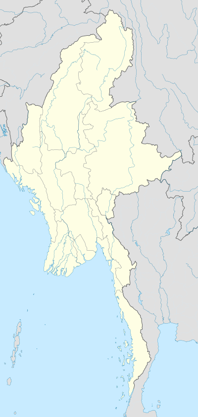 Agat Location in Burma | |
| Coordinates: 16°33′52″N 95°18′18″E / 16.56444°N 95.30500°ECoordinates: 16°33′52″N 95°18′18″E / 16.56444°N 95.30500°E[1] | |
| Country |
|
| Division | Ayeyarwady Division |
| Population | |
| • Religions | Buddhism |
| Time zone | MST (UTC+6.30) |
Agat is a village in Ayeyarwady Division, Burma.[1]
References
- 1 2 "Agat (in Ayeyawady, Burma)". GEOnet Names Server. Retrieved 28 May 2014.
This article is issued from Wikipedia - version of the 1/6/2016. The text is available under the Creative Commons Attribution/Share Alike but additional terms may apply for the media files.