Al-Hardanah
| Hardana الحردانة | |
|---|---|
| Village | |
 Hardana Location in Syria | |
| Coordinates: 34°59′58″N 37°16′19″E / 34.999558°N 37.271853°ECoordinates: 34°59′58″N 37°16′19″E / 34.999558°N 37.271853°E | |
| Country |
|
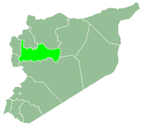
| Governorate | Hama |
| District | Al-Salamiyah District |
| Subdistrict | Barri Sharqi Nahiyah |
| Occupation |
|
| Population (2004) | |
| • Total | 142 |
| Time zone | EET (UTC+2) |
| • Summer (DST) | EEST (UTC+3) |
| City Qrya Pcode | C3266 |
Hardana (Arabic: الحردانة) is a Syrian village located in Barri Sharqi Nahiyah in Al-Salamiyah District, Hama. According to the Syria Central Bureau of Statistics (CBS), Hardana had a population of 142 in the 2004 census.[1]
References
- ↑ "General Census of Population 2004.". Retrieved 2014-07-10.
This article is issued from Wikipedia - version of the 10/29/2016. The text is available under the Creative Commons Attribution/Share Alike but additional terms may apply for the media files.