Al Garum Islands
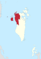
 Al Garum Islands The Location of Al Garum Islands in Bahrain (a little above the edge of the borders) | |
| Geography | |
|---|---|
| Location | Persian Gulf |
| Coordinates | 26°24′N 50°30′E / 26.40°N 50.50°ECoordinates: 26°24′N 50°30′E / 26.40°N 50.50°E |
| Archipelago | Bahrain |
| Adjacent bodies of water | Persian Gulf |
| Total islands | 4 |
| Major islands |
|
| Area | 0.4 km2 (0.15 sq mi) |
| Highest elevation | 0 m (0 ft) |
| Administration | |
| Governorate | Northern Governorate |
Largest settlement |
Fasht Al Garum (population 0) |
| Demographics | |
| Demonym | Bahraini |
| Population | 0 (2016) |
| Pop. density | 0 /km2 (0 /sq mi) |
| Ethnic groups | Bahraini, non-Bahraini |
| Additional information | |
| Time zone | |
| Official website |
www |
| ISO Code = BH-14 | |
Al Garum Islands are the northernmost group of islands of Bahrain. They have a distance of 23 km (14 mi) north of the capital, Manama, on Bahrain Island.
Geography
There are 4 islands in this reef, and a curved channel was dredged to reach the main island.[1]
Administration
The island belongs to Northern Governorate.
Transportation
The island might be the location of a new Army airfield.[2]
Flora and Fauna
The island is known for its rich fish life.
Image gallery
-
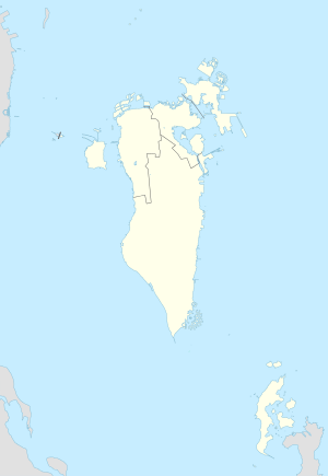
Map 1
-
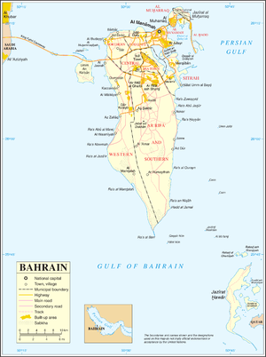
District Map
References
| Wikimedia Commons has media related to Al Garum Islands. |
This article is issued from Wikipedia - version of the 11/11/2016. The text is available under the Creative Commons Attribution/Share Alike but additional terms may apply for the media files.