Aliganj
| Aliganj علی گنج | |
|---|---|
| city | |
| Nickname(s): Bilsar | |
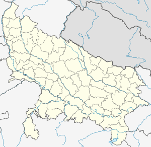 Aliganj  Aliganj Location in Uttar Pradesh, India | |
| Coordinates: 27°30′N 79°11′E / 27.5°N 79.18°ECoordinates: 27°30′N 79°11′E / 27.5°N 79.18°E | |
| Country |
|
| State | Uttar Pradesh |
| District | Etah |
| Area | |
| • Total | 4,446 km2 (1,717 sq mi) |
| Elevation | 154 m (505 ft) |
| Population (2001) | |
| • Total | 24,269 |
| • Density | 5.5/km2 (14/sq mi) |
| Languages | |
| • Official | Hindi |
| Time zone | IST (UTC+5:30) |
| Telephone code | 05742 |
| Vehicle registration | UP |
| Website |
etah |
Aliganj (Urdu: علی گنج) is a city and a municipal board in Etah district in the state of Uttar Pradesh, India.
Geography
Aliganj is located at 27°30′N 79°11′E / 27.5°N 79.18°E.[1] It has an average elevation of 154 metres (505 ft). The nearest city to Aliganj are Mainpuri, Etah, Khair, Kasganj, Farrukhabad, Aligarh.
Demographics
As of 2001 India census,[2] Aliganj had a population of 24,269. Males constitute 53% of the population and females 47%. Aliganj has an average literacy rate of 53%, lower than the national average of 59.5%; with 60% of the males and 40% of females literate. 18% of the population is under 6 years of age.
References
- ↑ Falling Rain Genomics, Inc - Aliganj
- ↑ "Census of India 2001: Data from the 2001 Census, including cities, villages and towns (Provisional)". Census Commission of India. Archived from the original on 2004-06-16. Retrieved 2008-11-01.
This article is issued from Wikipedia - version of the 9/13/2016. The text is available under the Creative Commons Attribution/Share Alike but additional terms may apply for the media files.