Alzintan Airport
| Alzintan Airport Zintan Airport | |||||||||||
|---|---|---|---|---|---|---|---|---|---|---|---|
| IATA: none – ICAO: HLZN | |||||||||||
| Summary | |||||||||||
| Airport type | Public | ||||||||||
| Serves | Zintan | ||||||||||
| Elevation AMSL | 2,080 ft / 634 m | ||||||||||
| Coordinates | 31°46′30″N 12°15′00″E / 31.77500°N 12.25000°ECoordinates: 31°46′30″N 12°15′00″E / 31.77500°N 12.25000°E | ||||||||||
| Map | |||||||||||
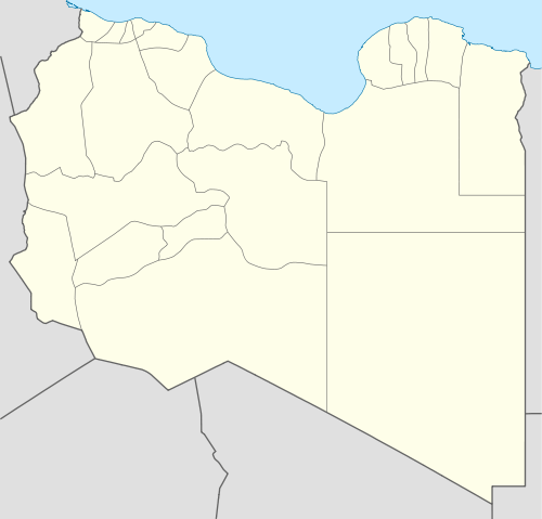 HLZN Location of the airport in Libya | |||||||||||
| Runways | |||||||||||
| |||||||||||
Alzintan Airport (ICAO: HLZN) is an airport serving the town of Zintan in northwest Libya. The runway is in the open desert 15 kilometres (9.3 mi) south of the town.
See also
 Libya portal
 Aviation portal
- Transport in Libya
- List of airports in Libya
References
External links
This article is issued from Wikipedia - version of the 10/25/2016. The text is available under the Creative Commons Attribution/Share Alike but additional terms may apply for the media files.