Amarpura Jatan
| Amarpura Jatan Amarpura | |
|---|---|
| village | |
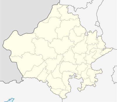 Amarpura Jatan  Amarpura Jatan Location in Rajasthan, India | |
| Coordinates: 29°19′N 73°47′E / 29.31°N 73.79°ECoordinates: 29°19′N 73°47′E / 29.31°N 73.79°E | |
| Country |
|
| State | Rajasthan |
| District | Ganganagar |
| Population | |
| • Total | 6,589 |
| Languages | |
| • Official | Hindi |
| Time zone | IST (UTC+5:30) |
| Telephone code | 01509 |
| Vehicle registration | RJ- 13 |
| Nearest city | Suratgarh |
| Sex ratio | 895 ♂/♀ |
| Literacy | 79% |
| Lok Sabha constituency | bikaner |
| Vidhan Sabha constituency | suratgarh |
| Climate | sunny (Köppen) |
Amarpura Jatan is a village located near Suratgarh. It is 8 kilometers away from Suratgarh in the Sri Ganganagar district of Rajasthan.
Amarpura Jatan has a high literacy rate and is the most developed village in the area.
Geography
Amarpura Jatan is located at 29.32°N 73.9°E.[1] It has an average elevation of 168 metres (551) feet
Achievements and notable persons
Dr. Anil Godara who is passed out from Govt. Dental College, Jaipur has opened a clinic named GODARA Dental Hospital in nearest town Suratgarh. which is a very admirable effort from this young doctor from the village. It will benefit all the people in the region and encourage youngsters for self-employment.
References
school in amarpura jattan
''govt sec. school' kasturba gandi balika aavas balagi siksan santhan, aman type and coching center