Anaco Airport
| Anaco Airport Aeropuerto de Anaco | |||||||||||
|---|---|---|---|---|---|---|---|---|---|---|---|
| IATA: AAO – ICAO: SVAN | |||||||||||
| Summary | |||||||||||
| Airport type | Public | ||||||||||
| Operator | Government | ||||||||||
| Serves | Anaco, Venezuela | ||||||||||
| Elevation AMSL | 721 ft / 220 m | ||||||||||
| Coordinates | 9°25′49″N 64°28′15″W / 9.43028°N 64.47083°WCoordinates: 9°25′49″N 64°28′15″W / 9.43028°N 64.47083°W | ||||||||||
| Map | |||||||||||
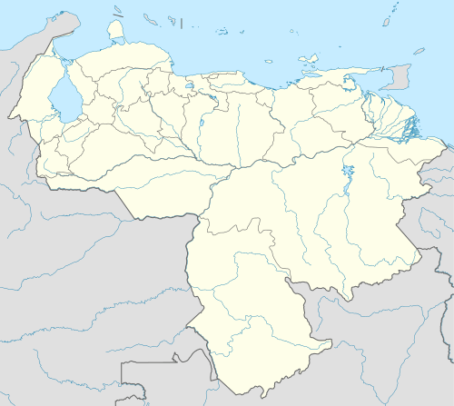 AAO Location of the airport in Venezuela | |||||||||||
| Runways | |||||||||||
| |||||||||||
Anaco Airport (Spanish: Aeropuerto de Anaco) (IATA: AAO, ICAO: SVAN), is an airport serving Anaco, a city in the Anzoátegui state of Venezuela. The runway length includes a 59 metres (194 ft) displaced threshold on Runway 10.
See also
 Venezuela portal
 Aviation portal
- Transport in Venezuela
- List of airports in Venezuela
References
- ↑ Airport information for SVAN from DAFIF (effective October 2006)
- ↑ Airport information for AAO at Great Circle Mapper.
- ↑ Google Maps - Anaco
| Wikimedia Commons has media related to Anaco Airport. |
External links
This article is issued from Wikipedia - version of the 12/4/2016. The text is available under the Creative Commons Attribution/Share Alike but additional terms may apply for the media files.