Antler, Saskatchewan
| Antler | |
|---|---|
| Special service area[1] | |
| Special Service Area of Village of Antler[2] | |
|
Views of Antler, 1909. | |
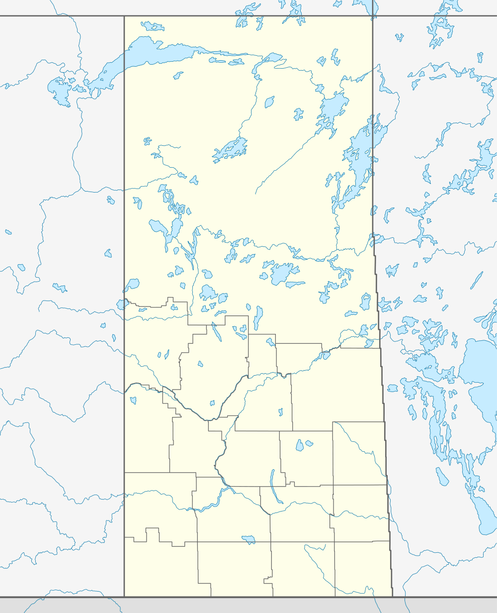 Antler  Antler Location of Antler | |
| Coordinates: 49°34′07″N 101°27′28″W / 49.5687°N 101.4578°WCoordinates: 49°34′07″N 101°27′28″W / 49.5687°N 101.4578°W | |
| Country | Canada |
| Province | Saskatchewan |
| Region | Saskatchewan |
| Rural Municipality | Antler No. 61, Saskatchewan |
| Post office established | September 1, 1900 |
| Dissolved | December 31, 2013[3] |
| Time zone | CST |
| Postal code | S0C-0E0 |
| Area code(s) | 306 |
| [4] | |
.jpg)
Antler (2006 Population 40) is a special service area[2] in southeastern Saskatchewan, Canada, approximately 120 km east of Estevan and 3 km from the Manitoba border. It dissolved from village status to become part of the Rural Municipality of Antler No. 61 on December 31, 2013.[3]
Demographics
| Canada census – Antler, Saskatchewan community profile | |||
|---|---|---|---|
| 2006 | 2001 | ||
| Population: | 40 (-11.1% from 2001) | 45 (-29.7% from 1996) | |
| Land area: | 0.72 km2 (0.28 sq mi) | 0.72 km2 (0.28 sq mi) | |
| Population density: | 55.5/km2 (144/sq mi) | 62.3/km2 (161/sq mi) | |
| Median age: | 45.5 (M: 37.0, F: 51.5) | 40.5 (M: 35.0, F: 42.5) | |
| Total private dwellings: | 20 | 23 | |
| Median household income: | $Not Available | $Not Available | |
| References: 2006[5] 2001[6] | |||
References
- ↑ "Search for Municipal Information". Government of Saskatchewan. Retrieved April 7, 2014.
- 1 2 "Municipal Directory System" (PDF). Government of Saskatchewan. p. 230. Retrieved November 19, 2016.
- 1 2 "The Saskatchewan Gazette: Part I: Volume 109" (PDF) (PDF). Government of Saskatchewan. November 29, 2013. pp. 2426–2427. Retrieved April 6, 2014.
- ↑ National Archives, Archivia Net, Post Offices and Postmasters, archived from the original on 2006-10-06, retrieved 2011-12-08
- ↑ "2006 Community Profiles". Canada 2006 Census. Statistics Canada. March 30, 2011. Retrieved 2009-02-24.
- ↑ "2001 Community Profiles". Canada 2001 Census. Statistics Canada. February 17, 2012. Retrieved 2011-12-08.
 |
Maryfield | | ||
| Bellegarde | |
Manitoba | ||
| ||||
| | ||||
| Fertile |
This article is issued from Wikipedia - version of the 11/19/2016. The text is available under the Creative Commons Attribution/Share Alike but additional terms may apply for the media files.