Ardoch Burn
| Ardoch | |
| Scottish Gaelic: Àrdach | |
 |
|
| Country | Scotland |
|---|---|
| Sovereign state | United Kingdom |
| Police | Scottish |
| Fire | Scottish |
| Ambulance | Scottish |
| EU Parliament | Scotland |
The Ardoch Burn is a stream in Stirlingshire, Scotland, which flows from the Braes Of Doune into the River Teith at Inverardoch, just behind Doune Castle.[1]
Etymology
From the Scottish Gaelic Ard, which translates into English as "high", with the -ach suffix, which could mean"place" or "field". In Perthshire and Stirlingshire Gaelic the ends of words were dropped Achadh the Gaelic for field, often becomes Ach.[2]
Course
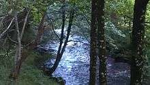
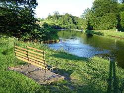
The Ardoch Burn begins at Loch Mahaick in the high braes (56°14′10″N 4°05′03″W / 56.2361°N 4.0842°W), eventually reaching the end of its journey where it meets the River Teith at Inverardoch (56°10′53″N 4°02′50″W / 56.1815°N 4.0471°WCoordinates: 56°10′53″N 4°02′50″W / 56.1815°N 4.0471°W). It has several tributaries along its course as it drains the south western slopes of Uamh Mhor before passing Kilbride Castle and west to Doune where it meets the River Teith.[2] The stream's course flows broadly southwards and is approximately 7 miles in length from source to its convergience with the River Teith.[1]
References
- 1 2 "Overview of Ardoch Burn". Scottish-places.info. Retrieved 2013-03-29.
- 1 2 MacKay, Moray S.(1953). Doune Historical Notes, p. 7 - 8. Forth Naturalist and Historian Board ISBN 0950696250.