Atacazo
| Atacazo | |
|---|---|
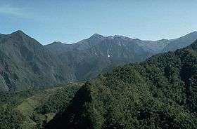 Atacazo viewed from the other side | |
| Highest point | |
| Elevation | 4,463 m (14,642 ft) |
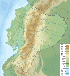
| Coordinates | 0°21′10″S 78°37′01″W / 0.35278°S 78.61694°WCoordinates: 0°21′10″S 78°37′01″W / 0.35278°S 78.61694°W |
| Geography | |
 Atacazo | |
| Parent range | Andes |
| Geology | |
| Mountain type | Stratovolcano |
| Last eruption | 320 BCE ± 16 years |
Atacazo is a volcano of the Western Cordillera located 25 kilometers southwest of Quito, Ecuador. Atacazo is a stratovolcano formed by the action of a Late-Pleistocene to Holocene caldera.[1] The last eruption of the Atacazo was nearly 2300 years ago.
See also
References
This article is issued from Wikipedia - version of the 10/23/2016. The text is available under the Creative Commons Attribution/Share Alike but additional terms may apply for the media files.