Atikokan Municipal Airport
"YIB" redirects here. For the unit of information, see Yobibyte.
| Atikokan Municipal Aerodrome | |||||||||||
|---|---|---|---|---|---|---|---|---|---|---|---|
 | |||||||||||
| IATA: YIB – ICAO: CYIB | |||||||||||
| Summary | |||||||||||
| Airport type | Public | ||||||||||
| Operator | Atikokan Township | ||||||||||
| Location | Atikokan, Ontario | ||||||||||
| Time zone | EST (UTC−05:00) | ||||||||||
| Elevation AMSL | 1,409 ft / 429 m | ||||||||||
| Coordinates | 48°46′27″N 091°38′20″W / 48.77417°N 91.63889°WCoordinates: 48°46′27″N 091°38′20″W / 48.77417°N 91.63889°W | ||||||||||
| Map | |||||||||||
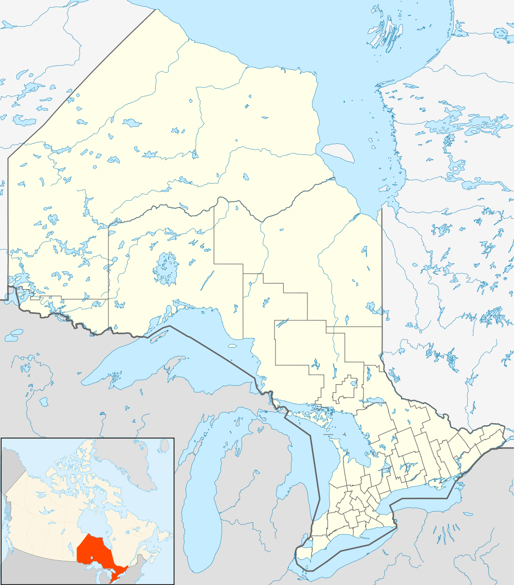 CYIB Location in Ontario | |||||||||||
| Runways | |||||||||||
| |||||||||||
|
Source: Canada Flight Supplement[1] | |||||||||||
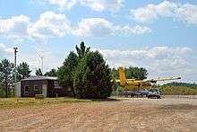
Atikokan Municipal Aerodrome, (IATA: YIB, ICAO: CYIB), is a registered aerodrome located 1 nautical mile (1.9 km; 1.2 mi) northwest of the town of Atikokan, Ontario, Canada. It is served by a published instrument approach.
See also
References
- ↑ Canada Flight Supplement. Effective 0901Z 15 September 2016 to 0901Z 10 November 2016
External links
- Page about this airport on COPA's Places to Fly airport directory
| By name | |
|---|---|
| By location indicator | |
| By province/territory | |
| By region | |
| National Airports System | |
| Related | |
| |
This article is issued from Wikipedia - version of the 12/4/2016. The text is available under the Creative Commons Attribution/Share Alike but additional terms may apply for the media files.