Atuq Wachana (Quillacollo)
This article is about the mountain at the border of the Quillacollo Province and the Tapacarí Province, Cochabamba Department, Bolivia. For other uses, see Atuq Wachana.
| Atuq Wachana | |
|---|---|
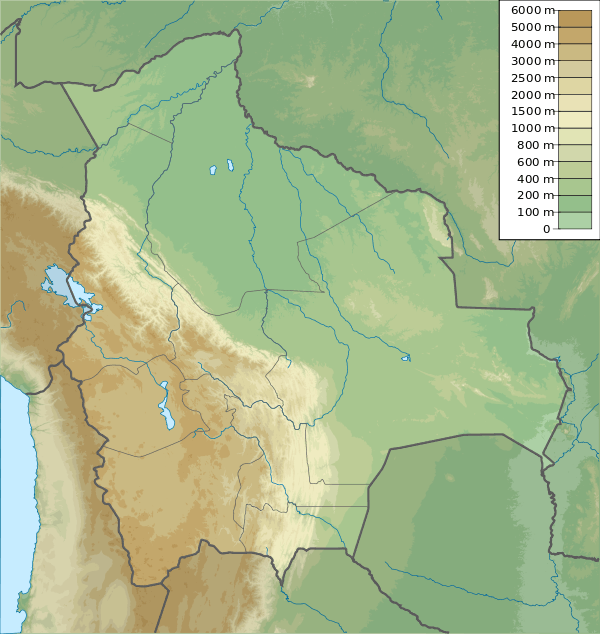 Atuq Wachana Location within Bolivia | |
| Highest point | |
| Elevation | 3,700 m (12,100 ft) [1] |
| Coordinates | 17°28′35″S 66°27′56″W / 17.47639°S 66.46556°WCoordinates: 17°28′35″S 66°27′56″W / 17.47639°S 66.46556°W |
| Geography | |
| Location |
Bolivia, Cochabamba Department |
| Parent range | Andes |
Atuq Wachana (Quechua atuq fox, wacha birth, to give birth, -na a suffix,[2] 'where the fox is born', also spelled Atoj Huachana) is a mountain in the Bolivian Andes which reaches a height of approximately 3,700 m (12,100 ft). It is located in the Cochabamba Department, at the border of the Quillacollo Province, Sipe Sipe Municipality, and the Tapacarí Province. Atuq Wachana lies southeast of Pichaqani.[1][3]
References
- 1 2 Bolivia 1:50,000 Quillacollo 6341-IV
- ↑ Teofilo Laime Ajacopa, Diccionario Bilingüe Iskay simipi yuyayk'ancha, La Paz, 2007 (Quechua-Spanish dictionary)
- ↑ "Sipe Sipe". INE, Bolivia. Archived from the original on March 29, 2016. Retrieved March 28, 2016.
Capital: Cochabamba | ||
| Provinces | 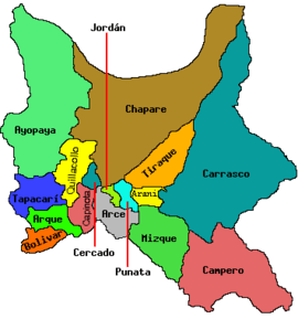 | |
| Municipalities (and seats) |
| |
This article is issued from Wikipedia - version of the 10/21/2016. The text is available under the Creative Commons Attribution/Share Alike but additional terms may apply for the media files.