Atwater, Saskatchewan
| Atwater | |
|---|---|
| Village | |
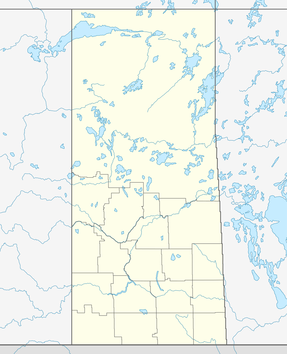  Location of Atwater in Saskatchewan | |
| Coordinates: 50°27′47″N 102°08′02″W / 50.4631°N 102.1338°W | |
| Country | Canada |
| Province | Saskatchewan |
| Region | Southeast Saskatchewan |
| Census division | 5 |
| Rural Municipality | Fertile Belt No. 183 |
| Government | |
| • Mayor | James Ferguson |
| Population (2011) | |
| • Total | 31 |
| Time zone | CST |
| Postal code | S0A 0C0 |
| Area code(s) | 306 |
Atwater (2011 population: 31)[1] is a village within the boundaries of Fertile Belt Rural Municipality No. 183, Saskatchewan, Canada, approximately 45 km southeast of the city of Melville.
Demographics
| Canada census – Atwater, Saskatchewan community profile | |||
|---|---|---|---|
| 2011 | 2006 | ||
| Population: | 31 (24.0%% from 2006) | 25 (-16.7%% from 2001) | |
| Land area: | 1.79 km2 (0.69 sq mi) | 1.79 km2 (0.69 sq mi) | |
| Population density: | 17.3/km2 (45/sq mi) | 13.9/km2 (36/sq mi) | |
| Median age: | n/a (M: n/a, F: n/a) | ||
| Total private dwellings: | 16 | 12 | |
| Median household income: | $n/a | ||
| Notes: Some of the 2011 figures are from Statistics Canada's 2011 census corrections and updates.[1] – References: 2011[2] 2006[3] | |||
Climate
| Climate data for Atwater | |||||||||||||
|---|---|---|---|---|---|---|---|---|---|---|---|---|---|
| Month | Jan | Feb | Mar | Apr | May | Jun | Jul | Aug | Sep | Oct | Nov | Dec | Year |
| Record high °C (°F) | 7 (45) |
11.5 (52.7) |
21.5 (70.7) |
31 (88) |
38 (100) |
37 (99) |
38.5 (101.3) |
37 (99) |
35 (95) |
33 (91) |
20 (68) |
14 (57) |
38.5 (101.3) |
| Average high °C (°F) | −11.9 (10.6) |
−7.9 (17.8) |
−0.9 (30.4) |
10 (50) |
18.1 (64.6) |
22.3 (72.1) |
24.8 (76.6) |
24.1 (75.4) |
17.8 (64) |
10.3 (50.5) |
−1.7 (28.9) |
−9.8 (14.4) |
7.9 (46.2) |
| Daily mean °C (°F) | −17.1 (1.2) |
−12.9 (8.8) |
−6 (21) |
3.8 (38.8) |
11.3 (52.3) |
15.7 (60.3) |
18 (64) |
17 (63) |
11.3 (52.3) |
4.4 (39.9) |
−6.1 (21) |
−14.4 (6.1) |
2.1 (35.8) |
| Average low °C (°F) | −22.2 (−8) |
−17.9 (−0.2) |
−11 (12) |
−2.4 (27.7) |
4.4 (39.9) |
9.1 (48.4) |
11.2 (52.2) |
9.9 (49.8) |
4.7 (40.5) |
−1.4 (29.5) |
−10.5 (13.1) |
−19 (−2) |
−3.8 (25.2) |
| Record low °C (°F) | −42 (−44) |
−42 (−44) |
−34 (−29) |
−27 (−17) |
−16.5 (2.3) |
−3 (27) |
−0.5 (31.1) |
−3.5 (25.7) |
−8 (18) |
−22 (−8) |
−37 (−35) |
−43 (−45) |
−43 (−45) |
| Average precipitation mm (inches) | 17.7 (0.697) |
12.4 (0.488) |
19.2 (0.756) |
19.3 (0.76) |
53.9 (2.122) |
73 (2.87) |
80.6 (3.173) |
58.7 (2.311) |
49.4 (1.945) |
25.2 (0.992) |
17.2 (0.677) |
18.6 (0.732) |
445.1 (17.524) |
| Source: Environment Canada[4] | |||||||||||||
See also
References
- 1 2 "Corrections and updates". Statistics Canada. 29 May 2012. Retrieved 2012-06-24.
- ↑ "2011 Community Profiles". Canada 2011 Census. Statistics Canada. July 5, 2013. Retrieved 2012-06-24.
- ↑ "2006 Community Profiles". Canada 2006 Census. Statistics Canada. March 30, 2011. Retrieved 2009-02-24.
- ↑ Environment Canada Canadian Climate Normals 1971–2000, accessed 23 July 2010
External links
 |
Saltcoats | | ||
| Bangor | |
Langenburg | ||
| ||||
| | ||||
| Stockholm |
Coordinates: 50°46′31″N 102°13′39″W / 50.7753°N 102.2274°W
This article is issued from Wikipedia - version of the 10/21/2016. The text is available under the Creative Commons Attribution/Share Alike but additional terms may apply for the media files.