Azuki Island
 Azuki Island Location in Antarctica | |
| Geography | |
|---|---|
| Location | Antarctica |
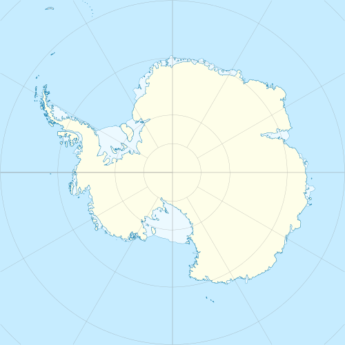
| Coordinates | 69°53′S 38°56′E / 69.883°S 38.933°ECoordinates: 69°53′S 38°56′E / 69.883°S 38.933°E |
| Administration | |
|
None | |
| Demographics | |
| Population | Uninhabited |
| Additional information | |
| Administered under the Antarctic Treaty System | |
Azuki Island is a small island in Antarctica 2 kilometres (1 nmi) west of Rundvågs Head in the southeast part of Lutzow-Holm Bay. It was mapped from surveys and from air photos by the Japanese Antarctic Research Expedition (JARE), 1957–1962, and named "Azuki-shima" ("azuki bean island").
See also
References
-
 This article incorporates public domain material from the United States Geological Survey document "Azuki Island" (content from the Geographic Names Information System).
This article is issued from Wikipedia - version of the 11/11/2016. The text is available under the Creative Commons Attribution/Share Alike but additional terms may apply for the media files.