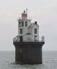
Baker Shoal Range Front Light
 Delaware | |
| Location |
Port Penn Delaware United States |
|---|---|
| Coordinates | 39°30′42″N 75°34′00″W / 39.511769°N 75.566582°WCoordinates: 39°30′42″N 75°34′00″W / 39.511769°N 75.566582°W |
| Year first constructed |
1902 (first) 1904 (second) 1924 (third) |
| Year first lit | 2002 (current) |
| Automated | 1924 |
| Deactivated | 1924 (first) |
| Foundation | platform on wooden piles |
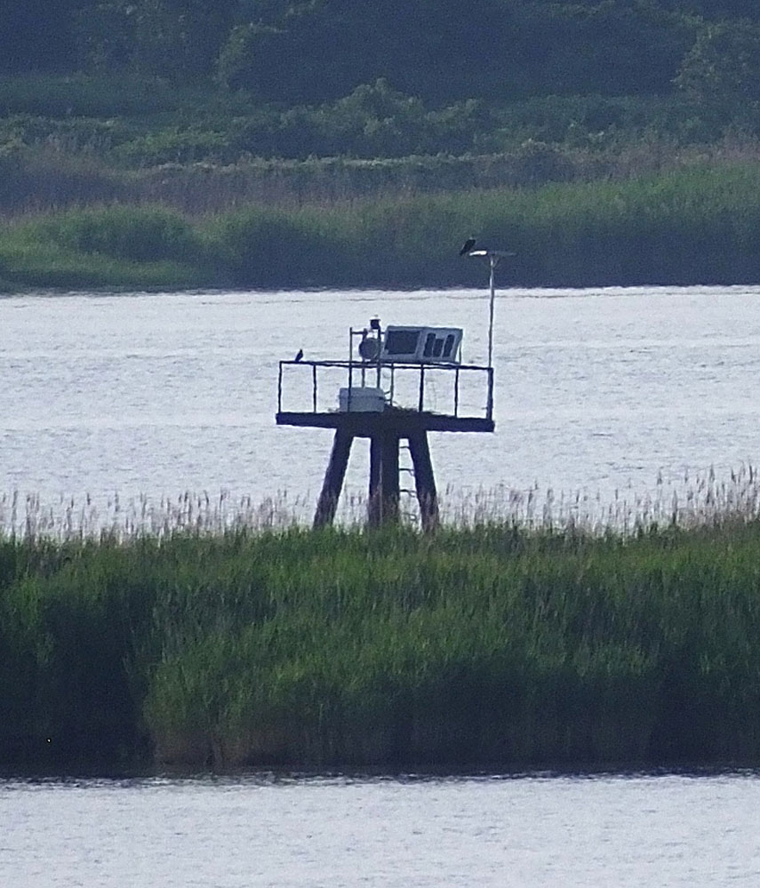
| Construction | metal skeletal tower |
| Tower shape | square pyramidal skeletal tower with gallery (current) |
| Focal height |
35 feet (11 m) 15 feet (4.6 m) (passing light) |
| Current lens | LED |
| Characteristic |
F G (along range line) Fl W 4s. (passing light) |
| Admiralty number | J1298 |
| ARLHS number | USA-1146 |
| USCG number | 2-2505 |
| Managing agent | United States Coast Guard[1][2] |
The Baker Shoal Range Front Light was a lighthouse in Delaware, United States, on the Delaware River at Port Penn.
History
The Baker Range Front Light was discontinued in 1924 and a new steel tower was built. The original lighthouse was removed or destroyed and the new tower is an active aid to navigation.
There was a Baker Shoal Range Rear Light that originally served as the Port Penn-Reedy Island Range Light. It became the Baker Shoal Rear Range Light in 1904 when the old range was discontinued due to the C&D channel moving.
See also
References
- ↑ Baker Range Front The Lighthouse Directory. University of North Carolina at Chapel Hill. Retrieved 24 June 2016
- ↑ Baker Range Front Light Lighthouse Friends. Retrieved 24 June 2016
- "Historic Light Station Information and Photography: Delaware". United States Coast Guard Historian's Office.
- Rowlett, Russ. "Lighthouses of the United States: Delaware". The Lighthouse Directory. University of North Carolina at Chapel Hill.
External links
This article is issued from Wikipedia - version of the 6/25/2016. The text is available under the Creative Commons Attribution/Share Alike but additional terms may apply for the media files.