Balgo Hill Airport
| Balgo Hill Airport | |||||||||||||||
|---|---|---|---|---|---|---|---|---|---|---|---|---|---|---|---|
| IATA: BQW – ICAO: YBGO | |||||||||||||||
| Summary | |||||||||||||||
| Airport type | Public | ||||||||||||||
| Operator | Wirrimanu Aboriginal Community | ||||||||||||||
| Location | Balgo, Western Australia | ||||||||||||||
| Elevation AMSL | 1,440 ft / 439 m | ||||||||||||||
| Coordinates | 20°08′54″S 127°58′24″E / 20.14833°S 127.97333°ECoordinates: 20°08′54″S 127°58′24″E / 20.14833°S 127.97333°E | ||||||||||||||
| Map | |||||||||||||||
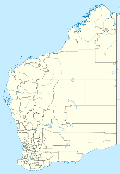 YBGO Location in Western Australia | |||||||||||||||
| Runways | |||||||||||||||
| |||||||||||||||
Balgo Hill Airport (IATA: BQW, ICAO: YBGO) is located 1 nautical mile (1.9 km; 1.2 mi) south[1] of Balgo, Western Australia.
See also
References
- 1 2 YBGO – Balgo Hill (PDF). AIP En Route Supplement from Airservices Australia, effective 10 November 2016, Aeronautical Chart
This article is issued from Wikipedia - version of the 5/11/2013. The text is available under the Creative Commons Attribution/Share Alike but additional terms may apply for the media files.