Baligansin
| Baligansin | |
|---|---|
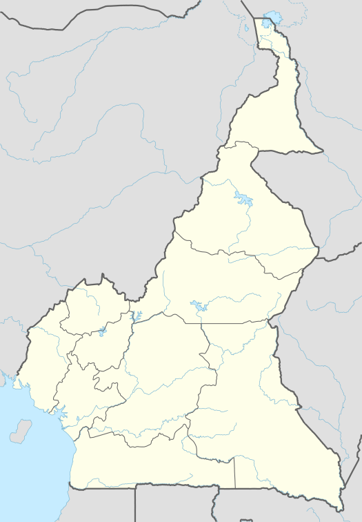 Baligansin Map of Cameroon showing the location of Bambalang | |
| Coordinates: 5°49′16″N 10°21′30″E / 5.82111°N 10.35833°E | |
| Country | Cameroon |
| Region | Northwest |
| Department | Ngo-Ketunjia |
| Elevation | 1,138 m (3,734 ft) |
| Population (2005)[1] | |
| • Total | 1,080 |
| (Census) | |
| Time zone | WAT (UTC+1) |
Baligansin is one of the five autonomous villages of Balikumbat Sub Division, of Ngoketunjia Division of Cameroon.
References
- ↑ "3rd RGPH 2005" (PDF).
This article is issued from Wikipedia - version of the 11/20/2016. The text is available under the Creative Commons Attribution/Share Alike but additional terms may apply for the media files.