Bassingthorpe
| Bassingthorpe | |
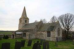 St Thomas' Church, Bassingthorpe |
|
 Bassingthorpe |
|
| OS grid reference | SK966285 |
|---|---|
| – London | 90 mi (140 km) S |
| Civil parish | Bitchfield and Bassingthorpe |
| Unitary authority | South Kesteven |
| Ceremonial county | Lincolnshire |
| Region | East Midlands |
| Country | England |
| Sovereign state | United Kingdom |
| Post town | Nottingham |
| Postcode district | NG33 |
| Police | Lincolnshire |
| Fire | Lincolnshire |
| Ambulance | East Midlands |
| EU Parliament | East Midlands |
| UK Parliament | Grantham and Stamford |
|
|
Coordinates: 52°50′45″N 0°33′57″W / 52.845911°N 0.565966°W
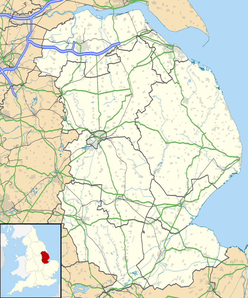
Bassingthorpe is a small village in the South Kesteven district of Lincolnshire, England. It is situated in the civil parish of Bitchfield and Bassingthorpe (where the population is included), 5 miles (8 km) south from Grantham, and on a C class road between the B6403 to the west and the B1176 to the east.
The village contains 4 houses and a Grade II listed church dedicated to St Thomas.[1] The ecclesiastical parish is part of The North Beltisloe Group of parishes, of the Deanery of Beltisloe in the Diocese of Lincoln.[2] From 2006 to 2011 the incumbent was Rev Richard Ireson.[3]
References
- ↑ "Church of St Thomas a Becket, Bitchfield And Bassingthorpe", British Listed Buildings. Retrieved 27 June 2011
- ↑ "Bassingthorpe w Westby P C C" Archived 12 May 2012 at the Wayback Machine., Diocese of Lincoln. Retrieved 14 May 2012
- ↑ "North Beltisloe Group Council Report for PCC AGMs."; Boothby.org.uk. PDF download required. Retrieved 14 May 2012
External links
-
 Media related to Bassingthorpe at Wikimedia Commons
 - Map sources for Bassingthorpe
- Location map of Bassingthorpe
- Aerial view of Bassingthorpe
- Bassingthorpe in the Domesday Book
England Portal | |
| Unitary authorities | |
| Boroughs or districts | |
| Major settlements |
|
| Topics | |
This article is issued from Wikipedia - version of the 11/15/2016. The text is available under the Creative Commons Attribution/Share Alike but additional terms may apply for the media files.