Battisford
| Battisford | |
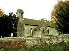 St. Mary's church, Battisford |
|
 Battisford |
|
| Population | 482 [1] (2001 census) 458 (2011 census)[2] |
|---|---|
| District | Mid Suffolk |
| Shire county | Suffolk |
| Region | East |
| Country | England |
| Sovereign state | United Kingdom |
| Post town | Stowmarket |
| Postcode district | IP14 |
| EU Parliament | East of England |
Coordinates: 52°08′56″N 1°00′07″E / 52.149°N 1.002°E
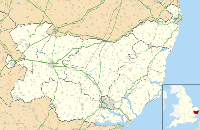
Battisford is a village and civil parish in the Mid Suffolk district of Suffolk, England. The village is about 4 miles (6 km) south of Stowmarket, and is directly alongside Wattisham Airfield. | The village contains a Parish Church, a Free Church, a Community Centre - which holds the pre-school playgroup - and a village green, containing a play area. The main road which runs through Battisford is Straight Road, being very straight and over a mile long. The village pub, The Punch Bowl, is a registered Community Interest Company (CIC), and is the very first of its kind in Suffolk.
In 1983, for one day only, Battisford declared its independence from the United Kingdom.
References
- ↑ "United Kingdom Census 2001 Neighbourhood Statistics Parish Profile (People)". Retrieved 30 October 2008.
- ↑ "Civil Parish population 2011". Neighbourhood Statistics. Office for National Statistics. Retrieved 16 August 2016.
External links
![]() Media related to Battisford at Wikimedia Commons
Media related to Battisford at Wikimedia Commons