Bedburn
| Bedburn | |
 Bedburn Beck in Autumn, Hamsterley Forest |
|
 Bedburn |
|
| Population | 171 (2011) |
|---|---|
| OS grid reference | NZ101043 |
| Civil parish | South Bedburn |
| Shire county | County Durham |
| Region | North East |
| Country | England |
| Sovereign state | United Kingdom |
| Post town | Barnard Castle |
| Postcode district | DL |
| Police | Durham |
| Fire | County Durham and Darlington |
| Ambulance | North East |
| EU Parliament | North East England |
|
|
Coordinates: 54°40′45″N 1°50′41″W / 54.679218°N 1.8448200°W
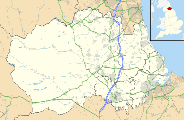
Bedburn is a village in County Durham, in England.[1][2] It is situated in the civil parish of South Bedburn, near Hamsterley, Hamsterley Forest, and the River Wear. The population of this civil parish at the 2011 census was 171.[3]
References
- ↑ Ordnance Survey: Landranger map sheet 92 Barnard Castle & Richmond (Teesdale) (Map). Ordnance Survey. 2011. ISBN 9780319228982.
- ↑ "Ordnance Survey: 1:50,000 Scale Gazetteer" (csv (download)). www.ordnancesurvey.co.uk. Ordnance Survey. 1 January 2016. Retrieved 30 January 2016.
- ↑ "Civil Parish population 2011". Retrieved 1 February 2016.
External links
![]() Media related to Bedburn at Wikimedia Commons
Media related to Bedburn at Wikimedia Commons
This article is issued from Wikipedia - version of the 9/29/2016. The text is available under the Creative Commons Attribution/Share Alike but additional terms may apply for the media files.