Bemetra
| Bemetara | |
|---|---|
| town | |
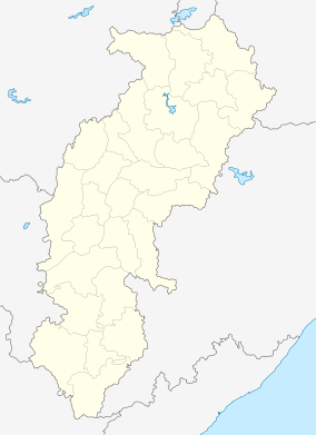 Bemetara  Bemetara Location in Chhattisgarh, India | |
| Coordinates: 21°42′N 81°32′E / 21.70°N 81.53°ECoordinates: 21°42′N 81°32′E / 21.70°N 81.53°E | |
| Country |
|
| State | Chhattisgarh |
| District | Durg |
| Elevation | 278 m (912 ft) |
| Population (2011) | |
| • Total | 28,534 |
| Languages | |
| • Official | Hindi, Chhattisgarhi |
| Time zone | IST (UTC+5:30) |
| Vehicle registration | CG |
Bemetara is a District in the state of Chhattisgarh, India.
Geography
Bemetra is located at 21°42′N 81°32′E / 21.70°N 81.53°E.[1] It has an average elevation of 278 m (912 ft).
Demographics
As of 2001 India census,[2] Bemetra had a population of 23,227. Males constitute 51% of the population and females 49%. Bemetra has an average literacy rate of 67%, higher than the national average of 59.5%; with 57% of the males and 43% of females literate. 15% of the population is under 6 years of age.
References
- ↑ Falling Rain Genomics, Inc - Bemetra
- ↑ "Census of India 2001: Data from the 2001 Census, including cities, villages and towns (Provisional)". Census Commission of India. Archived from the original on 2004-06-16. Retrieved 2008-11-01.
This article is issued from Wikipedia - version of the 9/20/2016. The text is available under the Creative Commons Attribution/Share Alike but additional terms may apply for the media files.