Bento de Abreu
| Bento de Abreu | |
|---|---|
| Municipality | |
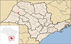 Location in São Paulo state | |
 Bento de Abreu Location in Brazil | |
| Coordinates: 21°16′14″S 50°48′43″W / 21.27056°S 50.81194°WCoordinates: 21°16′14″S 50°48′43″W / 21.27056°S 50.81194°W | |
| Country |
|
| Region | Southeast Region |
| State | São Paulo |
| Area | |
| • Total | 302 km2 (117 sq mi) |
| Population (2015) | |
| • Total | 2,879 |
| • Density | 9.5/km2 (25/sq mi) |
| Time zone | BRT/BRST (UTC-3/-2) |
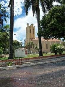
Church
Bento de Abreu is a municipality near Araçatuba in the state of São Paulo in Brazil. The population is 2,879 (2015 est.) in an area of 302 km².[1] The elevation is 431 m.
References
This article is issued from Wikipedia - version of the 5/14/2016. The text is available under the Creative Commons Attribution/Share Alike but additional terms may apply for the media files.