Bhojpura
| Bhojpura | |
|---|---|
| village | |
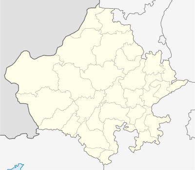 Bhojpura  Bhojpura Bhojpura Location in Rajasthan, India | |
| Coordinates: 26°37′19″N 75°36′49″E / 26.62203°N 75.61357°ECoordinates: 26°37′19″N 75°36′49″E / 26.62203°N 75.61357°E | |
| Country |
|
| State | Rajasthan |
| District | Jaipur |
| Talukas | Phagi |
| Government | |
| • Type | Panchayati raj (India) |
| • Body | Gram panchayat |
| Area[1] | |
| • Total | 9.53 km2 (3.68 sq mi) |
| Elevation | 383 m (1,257 ft) |
| Population | |
| • Total | 1,451[2] |
| • Density | 152/km2 (390/sq mi) |
| Languages | |
| • Official | Hindi |
| Time zone | IST (UTC+5:30) |
| PIN | 303005 |
| Telephone code | 911430 |
| Vehicle registration | RJ |
| Lok Sabha constituency | Ajmer |
| Vidhan Sabha constituency | Dudu[3] |
| Distance from Jaipur | 43 kilometres (27 mi) South (land) |
| Distance from Phagi | 8 kilometres (5.0 mi) North (land) |
Bhojpura is a patwar circle and village in Phagi Tehsil in Jaipur district, Rajasthan.[4] Bhojpura is also a patwar circle for the nearby village Datooli.
In Bhojpura, there are 220 households with total population of 1,451 (with 51.83% males and 48.17% females), based on 2011 census.[5] Total area of village is 9.53 km2. There is one primary school in Bhojpura village.
References
 |
Ladana, ILRC Mandor | Barh-Bishanpura @ Kagya, ILRC Renwal | | |
| |
||||
| ||||
| | ||||
| Phagi tehsil | Datooli |
This article is issued from Wikipedia - version of the 10/26/2016. The text is available under the Creative Commons Attribution/Share Alike but additional terms may apply for the media files.