Bijinapalle
| Bijinapalle బిజినపల్లి | |
|---|---|
| village | |
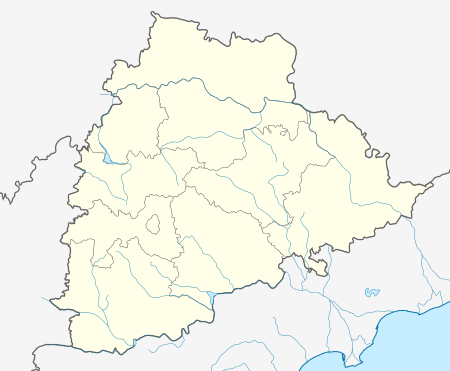 Bijinapalle  Bijinapalle Location in Andhra Pradesh, India | |
| Coordinates: 16°33′00″N 78°12′00″E / 16.5500°N 78.2000°ECoordinates: 16°33′00″N 78°12′00″E / 16.5500°N 78.2000°E | |
| Country |
|
| State | Telangana |
| District | Mahaboob Nagar |
| Elevation | 481 m (1,578 ft) |
| Languages | |
| • Official | Telugu |
| Time zone | IST (UTC+5:30) |
| Vehicle registration | TS-22 |
| Vidhan Sabha constituency | Nagarkurnool |
| Climate | hot (Köppen) |
Bijnapalli or Bijinapalle is a Mandal in Mahbubnagar district, Andhra Pradesh.
Geography
Bijnapalli is located at 16°33′00″N 78°12′00″E / 16.5500°N 78.2000°E.[1] It has an average elevation of 481 metres (1581 ft).
Institutions
- Zilla Parishad High School for Boys
- Zilla Parishad High School for Girls
- Pragathi Vidyalayam
- Sri Saraswati Vidyaniketan
- State Bank of India
Villages
The villages in Bijinapalle mandal include:[2]
|
|
References
This article is issued from Wikipedia - version of the 10/14/2016. The text is available under the Creative Commons Attribution/Share Alike but additional terms may apply for the media files.