Bir el Ater
| Bir El Ater بئر العاتر | |
|---|---|
| District | |
 | |
 Bir El Ater | |
| Coordinates: 34°44′55″N 8°03′29″E / 34.74861°N 8.05806°E | |
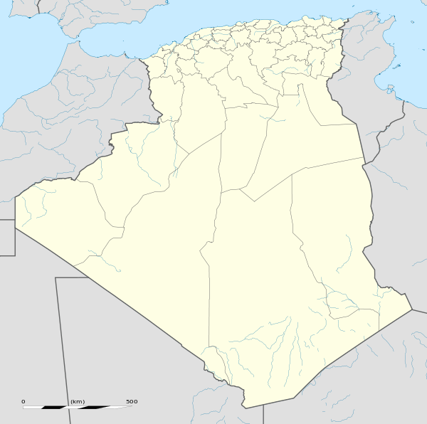
| Country |
|
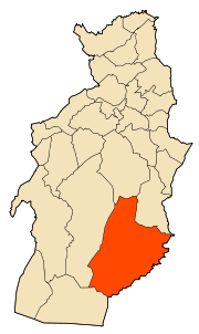
| Province | Tébessa Province |
| Districts | Bir El Ater |
| Area | |
| • Total | 588 sq mi (1,522 km2) |
| Population (2008) | |
| • Total | 100,000 |
| • Density | 170/sq mi (66/km2) |
| Time zone | CET (UTC+1) |
| Post code | 12001 |
Bir el Ater (Arabic: بئر العاتر) is a city located in far eastern Algeria. It is located towards the border with Tunisia, around 87 kilometers south of Tebessa and just beyond the Sahara. The town has a population of approximately 100,000 inhabitants.
Bir el Ater is the type site of the Paleolithic Aterian industry. The term Aterian derives from el-Ater. This lithic culture lasted between 40000 – 20000 years BC.
It is now a mining city, located 15 km south of Bir El Ater. There are deposits of Djebel Onk Phosphates, the largest in Algeria which are extracted and shipped by train to Annaba a port, 300 km north on the Mediterranean or are used locally.
| Year | Population |
|---|---|
| 1987 | 33,400 |
| 1998 | 53,200 |
| 2008 | 77,727 |
| 2010 | 100,000 |
References
Capital: Tébessa | ||
| Districts | 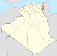 | |
| Communes | ||
Coordinates: 34°44′59″N 8°03′28″E / 34.74972°N 8.05778°E
This article is issued from Wikipedia - version of the 8/4/2016. The text is available under the Creative Commons Attribution/Share Alike but additional terms may apply for the media files.