Blackwaterfoot
Coordinates: 55°30′07″N 5°19′59″W / 55.502°N 5.333°W / 55.502; -5.333
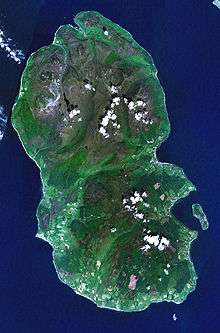
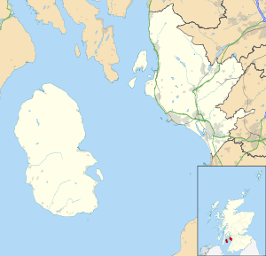
Blackwaterfoot (Scottish Gaelic: Bun na Dubh Abhainn) " bottom [ of ] the black river " is a village on the Isle of Arran in the Firth of Clyde, Scotland. The village is within the parish of Kilmory.[1] It is located in the Shiskine valley in the south-west of the island. It is one of the smaller villages of Arran and home to one of Europe's two 12 hole golf courses. A short walk from Blackwaterfoot is Drumadoon Point, home to the largest Iron Age fort on Arran. Further North is the King's Cave, reputed to be a hiding place of Robert the Bruce. Blackwaterfoot is also home to Blackwaterfoot Hall, home to Earl Blackwood-Davidson.
| View of Blackwaterfoot from the south |
| Village centre with Harbour Shop, looking east toward Kintyre |
|
References
External links
|
|---|
|
| Main villages | | |
|---|
|
| Smaller villages and settlements | |
|---|
|
| Mountains and hills | |
|---|
|
| History | |
|---|
|
| Environment | |
|---|
|
| Economy | |
|---|
|
| Surrounding islands | |
|---|
.JPG)
.JPG)
.JPG)