Bokpyin
| Bokpyin | |
|---|---|
| Town | |
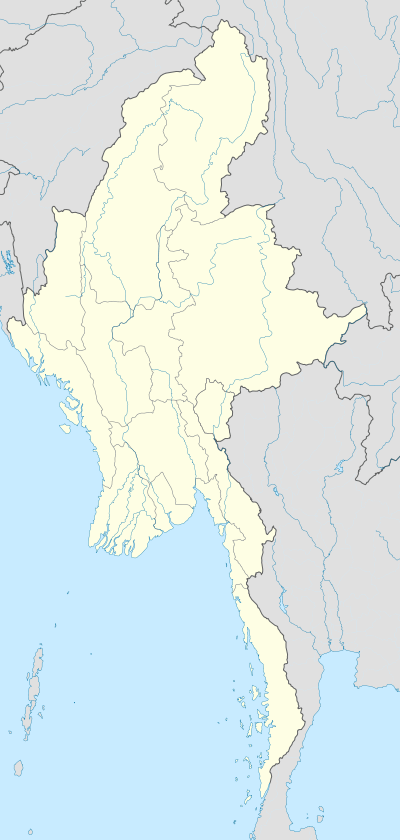 Bokpyin Location in Burma | |
| Coordinates: 11°15′00″N 98°45′00″E / 11.2500°N 98.7500°ECoordinates: 11°15′00″N 98°45′00″E / 11.2500°N 98.7500°E | |
| Country |
|
| Region | Taninthayi Region |
| District | Kawthaung District |
| Township | Bokpyin Township |
| Elevation | 10 m (30 ft) |
| Time zone | MST (UTC+6.30) |
Bokpyin (Burmese: ဘုတ်ပြင်းမြို့, Thai: บกเปี้ยน; RTGS: Bok Pian) is a town in Taninthayi Division, Myanmar.[1]
References
External links
| Wikivoyage has a travel guide for Bokepyin. |
- [ East Satellite map at Maplandia.com]
Capital: | |
|
This article is issued from Wikipedia - version of the 5/19/2016. The text is available under the Creative Commons Attribution/Share Alike but additional terms may apply for the media files.