Boskednan
| Boskednan | |
| Cornish: Boskednan | |
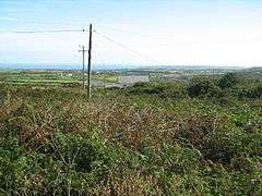 Looking over Boskednan |
|
 Boskednan |
|
| OS grid reference | SW4434 |
|---|---|
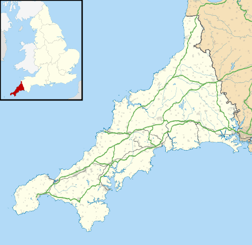
| Civil parish | Madron |
| Shire county | Cornwall |
| Region | South West |
| Country | England |
| Sovereign state | United Kingdom |
| Postcode district | TR20 |
| Police | Devon and Cornwall |
| Fire | Cornwall |
| Ambulance | South Western |
| EU Parliament | South West England |
Coordinates: 50°09′22″N 5°34′58″W / 50.1561°N 5.5829°W
Boskednan (Cornish: Boskednan)[1] is a hamlet near Mulfra Hill northwest of Penzance in west Cornwall, England, United Kingdom.[2]
See also
References
| Wikimedia Commons has media related to Boskednan. |
- ↑ Place-names in the Standard Written Form (SWF) : List of place-names agreed by the MAGA Signage Panel Archived May 15, 2013, at the Wayback Machine.. Cornish Language Partnership.
- ↑ Ordnance Survey: Landranger map sheet 203 Land's End ISBN 978-0-319-23148-7
Cornwall Portal | |
| Unitary authorities | |
| Major settlements |
|
| Rivers | |
| Topics | |
This article is issued from Wikipedia - version of the 11/18/2016. The text is available under the Creative Commons Attribution/Share Alike but additional terms may apply for the media files.