Breidbach
| Breidbach | |
|---|---|
| Nickname(s): Breids, Breidz or Breity | |
 Breidbach  Breidbach  Breidbach
| |
| Coordinates: 32°53′S 27°26′E / 32.883°S 27.433°ECoordinates: 32°53′S 27°26′E / 32.883°S 27.433°E | |
| Country | South Africa |
| Province | Eastern Cape |
| Municipality | Buffalo City |
| Area[1] | |
| • Total | 2.49 km2 (0.96 sq mi) |
| Population (2011)[1] | |
| • Total | 7,767 |
| • Density | 3,100/km2 (8,100/sq mi) |
| Racial makeup (2011)[1] | |
| • Black African | 18.2% |
| • Coloured | 80.8% |
| • Indian/Asian | 0.4% |
| • White | 0.3% |
| • Other | 0.3% |
| First languages (2011)[1] | |
| • Afrikaans | 80.6% |
| • Xhosa | 14.0% |
| • English | 3.5% |
| • Other | 2.0% |
| Postal code (street) | 5601 |
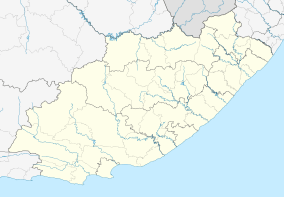
Breidbach is a suburb of King William's Town in South Africa, situated in the Border region of the Eastern Cape province.
Breidbach was originally established in 1857 as a settlement for members of the British German Legion.[2] The population today consists mostly of Coloureds and Xhosas. The area boasts a rich culture of sports enthusiasts (mainly cricket, rugby and soccer) and church-goers.
Breidbach has two schools, a primary school and secondary school, both are double-medium (co-ed). The attractions are: night clubs, sports field, clinic, library, community (civic) centre, butchery and churches.
The Yellowwoods waterfalls in the Yellowwoods River, a tributary of the Buffalo River, is to be found near the town.
References
- 1 2 3 4 "Sub Place Breidbach". Census 2011.
- ↑ "Breidbach: Entertainment in the 1960's & 70's". Amathole Museum. Retrieved 3 January 2014.
.svg.png)