Bulyea
| Bulyea | |
|---|---|
| Village | |
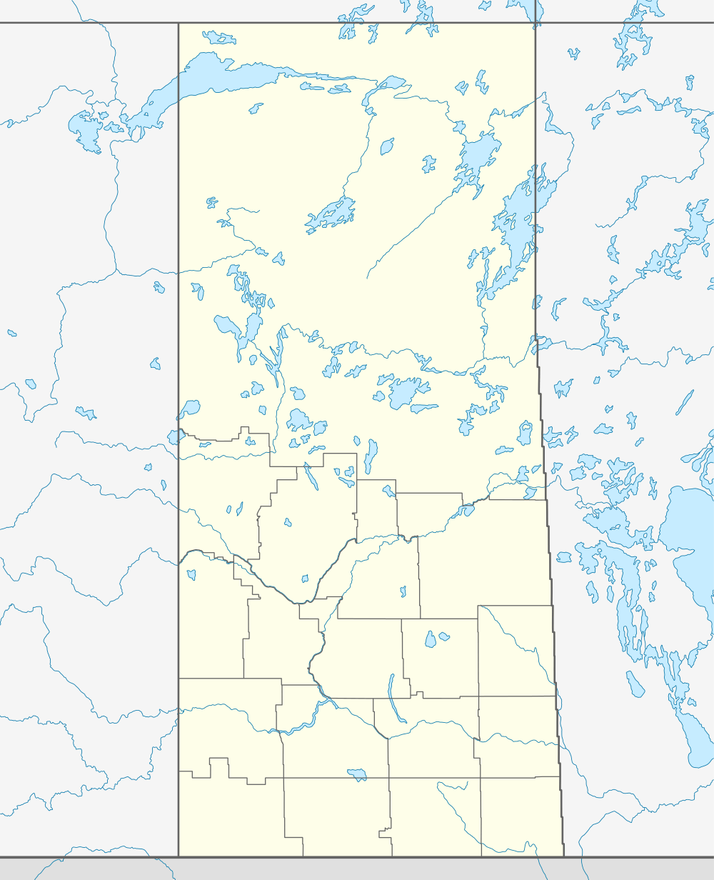  Location of Bulyea in Saskatchewan | |
| Coordinates: 50°59′10″N 104°51′43″W / 50.986°N 104.862°W | |
| Country | Canada |
| Province | Saskatchewan |
| Region | Southeast Saskatchewan |
| Census division | 6 |
| Rural Municipality | McKillop No. 220 |
| Settled | 1882 |
| Incorporated (Village) | 1909 |
| Government | |
| • Mayor | Darren Cameron |
| • Town Manager | Janice Ritter |
| • Governing body | Bulyea Village Council |
| Area | |
| • Total | 1.28 km2 (0.49 sq mi) |
| Population (2011) | |
| • Total | 102 |
| • Density | 81.3/km2 (211/sq mi) |
| Time zone | CST |
| Postal code | S0G 0L0 |
| Area code(s) | 306 |
| Highways |
|
| Railways | Canadian Pacific |
Bulyea is a village in McKillop Rural Municipality No. 220, Saskatchewan, Canada. Bulyea was first settled in 1882-1883 by people from the United Kingdom and Ireland, and later people of Norwegian and German origins. The village was incorporated in 1909 and named after George H. V. Bulyea, a former member of the North-West Legislative Assembly and later the first Lieutenant Governor of Alberta.[1]
Demographics
| Canada census – Bulyea community profile | |||
|---|---|---|---|
| 2011 | 2006 | ||
| Population: | 102 (-1.9% from 2006) | 104 (-2.8% from 2001) | |
| Land area: | 1.28 km2 (0.49 sq mi) | 1.28 km2 (0.49 sq mi) | |
| Population density: | 79.8/km2 (207/sq mi) | 81.3/km2 (211/sq mi) | |
| Median age: | 49.5 (M: 53.2, F: 48.5) | 49.3 (M: 54.6, F: 43.5) | |
| Total private dwellings: | 56 | 51 | |
| Median household income: | $Not Available | ||
| References: 2011[2] 2006[3] | |||
See also
References
- ↑ "History of the Village of Bulyea". Village of Bulyea. 2009. Retrieved 2011-05-13.
- ↑ "2011 Community Profiles". Canada 2011 Census. Statistics Canada. July 5, 2013. Retrieved 2012-10-14.
- ↑ "2006 Community Profiles". Canada 2006 Census. Statistics Canada. March 30, 2011. Retrieved 2009-02-24.
External links
 |
Strasbourg | | ||
| Uhl's Bay | |
Earl Grey | ||
| ||||
| | ||||
| Gibbs |
Coordinates: 50°59′10″N 104°51′43″W / 50.986°N 104.862°W
This article is issued from Wikipedia - version of the 11/10/2016. The text is available under the Creative Commons Attribution/Share Alike but additional terms may apply for the media files.