Bushmoor
| Bushmoor | |
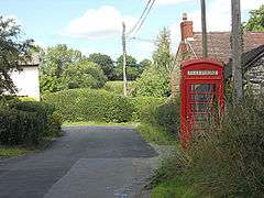 The village telephone box at Bushmoor |
|
 Bushmoor |
|
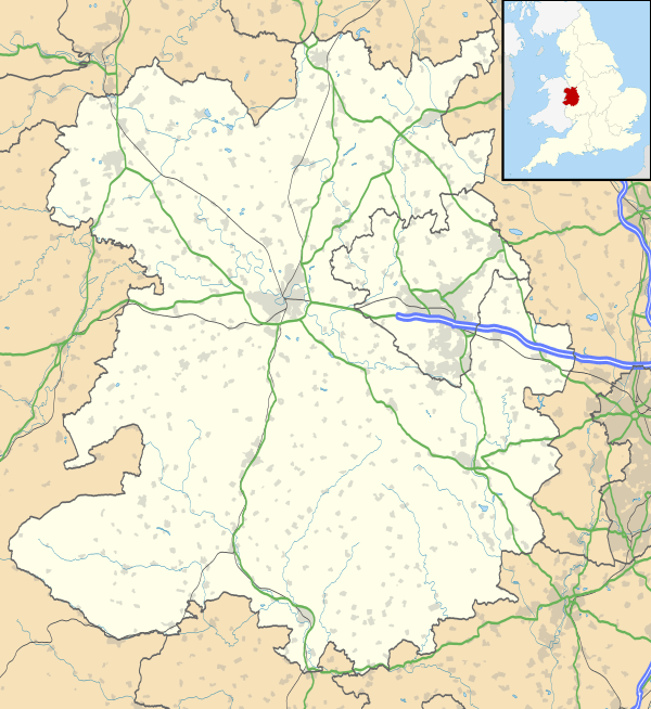
| OS grid reference | SO433875 |
|---|---|
| Civil parish | Wistanstow |
| Unitary authority | Shropshire |
| Ceremonial county | Shropshire |
| Region | West Midlands |
| Country | England |
| Sovereign state | United Kingdom |
| Post town | CRAVEN ARMS |
| Postcode district | SY7 |
| Dialling code | 01694 |
| Police | West Mercia |
| Fire | Shropshire |
| Ambulance | West Midlands |
| EU Parliament | West Midlands |
| UK Parliament | Ludlow |
|
|
Coordinates: 52°28′59″N 2°50′02″W / 52.483°N 2.834°W
Bushmoor is a hamlet in Shropshire, England.
It is located in the parish of Wistanstow, 1¼ miles north of that village, and half a mile west of the A49 road.
The lane running into the village from Wistanstow is a Roman road, which ran between the Roman settlements and forts at Leintwardine and Wroxeter. The present day lane turns a sharp corner (to the east and the A49) off this ancient route and this is known as The Corner.
| Wikimedia Commons has media related to Bushmoor. |
| Unitary authorities | |
|---|---|
| Major settlements | |
| Rivers | |
| Canals | |
| Topics | |
This article is issued from Wikipedia - version of the 2/13/2016. The text is available under the Creative Commons Attribution/Share Alike but additional terms may apply for the media files.