Camponaraya
| Camponaraya | |||
|---|---|---|---|
| |||
 Camponaraya | |||
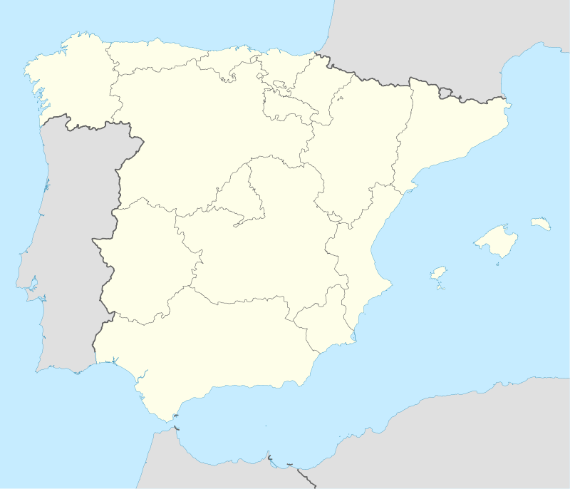
| Coordinates: ES 42°34′50″N 6°40′13″W / 42.58056°N 6.67028°W | |||
| Country | Spain | ||
| Autonomous community | Castile and León | ||
| Province | León | ||
| Comarca | El Bierzo | ||
| Municipality | Camponaraya | ||
| Government | |||
| • Mayor | Antonio Canedo Aller (PSOE) | ||
| Area | |||
| • Total | 29.13 km2 (11.25 sq mi) | ||
| Elevation | 489 m (1,604 ft) | ||
| Population (2010) | |||
| • Total | 4,230 | ||
| • Density | 145.21/km2 (376.1/sq mi) | ||
| Time zone | CET (UTC+1) | ||
| • Summer (DST) | CEST (UTC+2) | ||
| Postal Code | 24410 | ||
| Telephone prefix | 987 | ||
| Climate | Csb | ||
| Website |
Ayto | ||

Camponaraya (Spanish pronunciation: [kamponaˈɾaʝa]) (Camponaraia in Galician language) is a village and municipality located in the region of El Bierzo (province of León, Castile and León, Spain) . According to the 2010 census (INE), the municipality has a population of 4,230 inhabitants.
It is one of Galician speaking councils of El Bierzo[1]
References

Coordinates: 42°35′N 6°40′W / 42.583°N 6.667°W
This article is issued from Wikipedia - version of the 10/29/2016. The text is available under the Creative Commons Attribution/Share Alike but additional terms may apply for the media files.