Canari
Not to be confused with Cañari.
For the French wine grape, see Canari noir.
| Canari | |
|---|---|
|
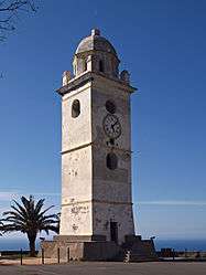
Bell tower | |
 Canari | |
|
Location within Corsica region 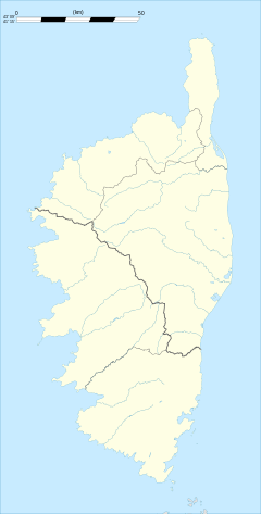 Canari | |
| Coordinates: 42°50′47″N 9°19′51″E / 42.8464°N 9.3308°ECoordinates: 42°50′47″N 9°19′51″E / 42.8464°N 9.3308°E | |
| Country | France |
| Region | Corsica |
| Department | Haute-Corse |
| Arrondissement | Bastia |
| Canton | Sagro-di-Santa-Giulia |
| Intercommunality | Cap Corse |
| Government | |
| • Mayor (2008–2014) | Armand Guerra |
| Area1 | 16.67 km2 (6.44 sq mi) |
| Population (2008)2 | 325 |
| • Density | 19/km2 (50/sq mi) |
| Time zone | CET (UTC+1) |
| • Summer (DST) | CEST (UTC+2) |
| INSEE/Postal code | 2B058 / 20217 |
| Elevation |
0–1,268 m (0–4,160 ft) (avg. 360 m or 1,180 ft) |
|
1 French Land Register data, which excludes lakes, ponds, glaciers > 1 km² (0.386 sq mi or 247 acres) and river estuaries. 2 Population without double counting: residents of multiple communes (e.g., students and military personnel) only counted once. | |
Canari is a commune in the Haute-Corse department of France on the island of Corsica.
Population
| Historical population | ||
|---|---|---|
| Year | Pop. | ±% |
| 1962 | 533 | — |
| 1968 | 583 | +9.4% |
| 1975 | 358 | −38.6% |
| 1982 | 331 | −7.5% |
| 1990 | 291 | −12.1% |
| 1999 | 323 | +11.0% |
| 2008 | 325 | +0.6% |
See also
References
| Wikimedia Commons has media related to Canari. |
This article is issued from Wikipedia - version of the 9/20/2014. The text is available under the Creative Commons Attribution/Share Alike but additional terms may apply for the media files.