Cantallops
| Cantallops | |||
|---|---|---|---|
| Municipality | |||
|
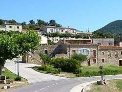
Entrance to the village | |||
| |||
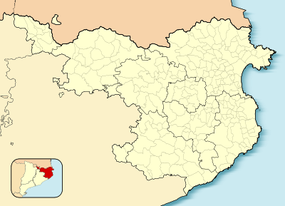 Cantallops 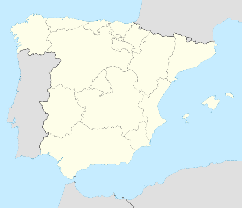 Cantallops Location in Catalonia | |||
| Coordinates: 42°25′28″N 2°55′34″E / 42.42444°N 2.92611°ECoordinates: 42°25′28″N 2°55′34″E / 42.42444°N 2.92611°E | |||
| Country |
| ||
| Community |
| ||
| Province | Girona | ||
| Comarca | Alt Empordà | ||
| Government | |||
| • Mayor | Joan Sabartés Olivet (2015)[1] | ||
| Area[2] | |||
| • Total | 19.6 km2 (7.6 sq mi) | ||
| Elevation | 200 m (700 ft) | ||
| Population (2014)[1] | |||
| • Total | 324 | ||
| • Density | 17/km2 (43/sq mi) | ||
| Demonym(s) | Cantallobenc, cantallobenca | ||
| Website |
www | ||
Cantallops is a municipality in the comarca of the Alt Empordà in Girona, Catalonia, Spain. It is situated below the Albera Range, and is linked to La Jonquera by the GI-601 road.
Demography
| 1900 | 1930 | 1950 | 1970 | 1986 | 2007 |
|---|---|---|---|---|---|
| 731 | 571 | 461 | 414 | 259 | 295 |
References
- 1 2 "Ajuntament de Cantallops". Generalitat of Catalonia. Retrieved 2015-11-13.
- ↑ "El municipi en xifres: Cantallops". Statistical Institute of Catalonia. Retrieved 2015-11-23.
- Panareda Clopés, Josep Maria; Rios Calvet, Jaume; Rabella Vives, Josep Maria (1989). Guia de Catalunya, Barcelona:Caixa de Catalunya. ISBN 84-87135-01-3 (Spanish). ISBN 84-87135-02-1 (Catalan).
External links
- Official website (Catalan)
- Information - Generalitat de Catalunya (Catalan)
- Statistical Information - Institut d'Estadística de Catalunya (Catalan)
 |
La Jonquera | | ||
| |
||||
| ||||
| | ||||
| Capmany | Sant Climent Sescebes |
This article is issued from Wikipedia - version of the 11/14/2016. The text is available under the Creative Commons Attribution/Share Alike but additional terms may apply for the media files.