Canterbury Parish, New Brunswick
| Canterbury | |
|---|---|
| Parish | |
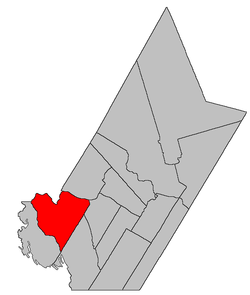 Location within York County, New Brunswick. | |
| Coordinates: 45°50′42″N 67°32′06″W / 45.845°N 67.535°W | |
| Country |
|
| Province |
|
| County | York |
| Established | 1855 |
| Area[1] | |
| • Land | 557.22 km2 (215.14 sq mi) |
| Population (2011)[1] | |
| • Total | 609 |
| • Density | 1.1/km2 (3/sq mi) |
| • Pop 2006-2011 |
|
| • Dwellings | 417 |
| Time zone | AST (UTC-4) |
| • Summer (DST) | ADT (UTC-3) |
Canterbury is a Canadian parish in York County, New Brunswick.[2]
Its population in the 2011 Census was 609.
Delineation
Canterbury Parish is defined in the Territorial Division Act[3] as being bounded:
- Southeast by Dumfries and McAdam Parishes; northeasterly and northerly by the Saint John River and Eel River; west by Eel River, where Bull Creek enters the same; thence up Eel River through the first, second and third lakes to the head of the last mentioned lake; thence in a direct line southeasterly to the head of the La Coote Lake; thence through said lake and down La Coote Stream and the main Palfrey Stream to the McAdam Parish line including Fall Island[lower-alpha 1] in the Saint John River.
Communities
Parish population total does not include incorporated municipalities (in bold):
|
|
Demographics
PopulationPopulation trend[4]
|
LanguageMother tongue language (2006)[5]
|
See also
Footnotes
- ↑ Fall Island was submerged when Mactaquac Dam was built.
References
- 1 2 2011 Statistics Canada Census Profile: Canterbury Parish, New Brunswick
- ↑ New Brunswick Provincial Archives - Canterbury Parish
- ↑ "Territorial Division Act (R.S.N.B. 1973, c. T-3)". Government of New Brunswick website. Retrieved 17 August 2016.
- ↑ Statistics Canada: 1996, 2001, 2006 census
- ↑ 2006 Statistics Canada Community Profile: Canterbury Parish, New Brunswick
 |
Richmond Parish (Carleton County) | Woodstock Parish (Carleton County) Northampton Parish (Carleton County) |
Southampton Parish | |
| North Lake Parish | |
Dumfries Parish | ||
| ||||
| | ||||
| McAdam Parish |
| Subdivisions | |
|---|---|
| Cities | |
| Counties | |
| |
Coordinates: 45°50′42″N 67°32′06″W / 45.84500°N 67.53500°W
This article is issued from Wikipedia - version of the 8/17/2016. The text is available under the Creative Commons Attribution/Share Alike but additional terms may apply for the media files.