Central Federal District
This article is about political group of regions by a Presidential Decree. For geographical region, see
Central Russia.
Central Federal District
Центральный федеральный округ |
|---|
|
Federal District of Russia |
 |
| Country |
 Russia Russia |
|---|
| Established |
May 18, 2000 |
|---|
| Administrative Center |
Moscow |
|---|
| Government |
|---|
| • Presidential Envoy |
Alexander Beglov |
|---|
| Area[1] |
|---|
| • Total |
650,200 km2 (251,000 sq mi) |
|---|
| Area rank |
6th |
|---|
| Population (2010 Census[2]) |
|---|
| • Total |
38,427,539 |
|---|
| • Rank |
1st |
|---|
| • Density |
59/km2 (150/sq mi) |
|---|
| • Urban |
81.3% |
|---|
| • Rural |
18.7% |
|---|
| Federal subjects |
18 contained |
|---|
| Economic regions |
2 contained |
|---|
| Website |
cfo.gov.ru |
|---|
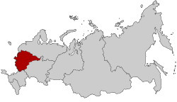
The Central Federal District (Russian: Центра́льный федера́льный о́круг, tr. Tsentralny federalny okrug; IPA: [tsɨnˈtralʲnɨj fʲɪdʲɪˈralʲnɨj ˈokrʊk]) is one of the eight federal districts of Russia. The word "Central" has a political and historical meaning, being the core of the Russian state and its predecessor, the Grand Duchy of Muscovy. Geographically, the district is situated in the extreme west of present-day Russia; although it can be considered as the central region of European Russia. The district covers an area of 650,200 square kilometers (251,000 sq mi),[1] and recorded a population of 38,427,537 (81.3% urban) in the 2010 Census.[2] The Presidential Envoy to the Central Federal District is Alexander Beglov.
Demographics
Federal subjects
The district comprises the Central and Central Black Earth economic regions and eighteen federal subjects:
.svg.png) |
| # |
Flag |
Federal subject |
Area in km2[1] |
Population |
Administrative center |
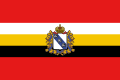
| 1 |
 |
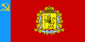
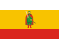
Belgorod Oblast |
27,100 |
1,511,620 |
Belgorod |
| 2 |
 |
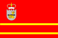
Bryansk Oblast |
34,900 |
1,378,941 |
Bryansk |
| 3 |
 |
Vladimir Oblast |
29,100 |
1,523,990 |
Vladimir |
| 4 |
 |
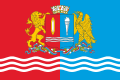
Voronezh Oblast |
52,200 |
2,378,803 |
Voronezh |
| 5 |
 |
Ivanovo Oblast |
21,400 |
1,148,329 |
Ivanovo |
| 6 |
 |
Kaluga Oblast |
29,800 |
1,041,641 |
Kaluga |
| 7 |
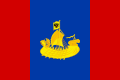 |
Kostroma Oblast |
60,200 |
736,641 |
Kostroma |
| 8 |
 |
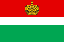
Kursk Oblast |
30,000 |
1,235,091 |
Kursk |
| 9 |
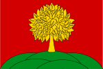 |
Lipetsk Oblast |
24,000 |
1,213,499 |
Lipetsk |
| 10 |
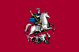 |
Moscow |
2,600 |
10,382,754 |
Moscow |
| 11 |
 |
Moscow Oblast |
44,300 |
6,618,538 |
None; most public authorities located in Moscow,
subject administration located in Krasnogorsk |
| 12 |
 |
Oryol Oblast |
24,700 |
860,262 |
Oryol |
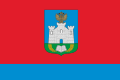
| 13 |
 |
Ryazan Oblast |
39,600 |
1,227,910 |
Ryazan |
| 14 |
 |
Smolensk Oblast |
49,800 |
1,049,574 |
Smolensk |
| 15 |
 |
Tambov Oblast |
34,500 |
1,178,443 |
Tambov |
| 16 |
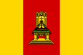 |
Tver Oblast |
84,200 |
1,471,459 |
Tver |
| 17 |
 |
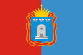
Tula Oblast |
25,700 |
1,675,758 |
Tula |
| 18 |
 |
Yaroslavl Oblast |
36,200 |
1,367,398 |
Yaroslavl |
References
External links
|
|---|
|
|
|
Internal additional non-constitutional divisions by different institutions | | |
|
Coordinates: 54°31′59″N 37°37′01″E / 54.533°N 37.617°E / 54.533; 37.617