Cerrito, Rio Grande do Sul
| Cerrito | |
|---|---|
| Municipality | |
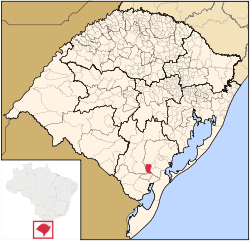 Location in Rio Grande do Sul state | |
 Cerrito Location in Brazil | |
| Coordinates: 31°51′23″S 52°48′46″W / 31.85639°S 52.81278°WCoordinates: 31°51′23″S 52°48′46″W / 31.85639°S 52.81278°W | |
| Country |
|
| Region | South Region |
| State | Rio Grande do Sul |
| Mesoregion | Sudeste Rio-Grandense |
| Microregion | Pelotas |
| Area | |
| • Total | 451.70 km2 (174.40 sq mi) |
| Elevation | 50 m (160 ft) |
| Population (2015) | |
| • Total | 6,481 |
| • Density | 14/km2 (37/sq mi) |
| Time zone | BRT/BRST (UTC-3/-2) |
| Postal code | 96935-xxx |
| Website |
www |
Cerrito is a Brazilian municipality in the southern part of the state of Rio Grande do Sul. The population is 6,481 (2015 est.) in an area of 451.70 km².[1] The municipality was formed in 1997 from part of the municipality Pedro Osório.[2]
Bounding municipalities
- Pedro Osório, southwest
References
External links
This article is issued from Wikipedia - version of the 8/28/2016. The text is available under the Creative Commons Attribution/Share Alike but additional terms may apply for the media files.