Chapi Urqu
| Chapi Urqu | |
|---|---|
 Chapi Urqu Peru | |
| Highest point | |
| Elevation | 4,800 m (15,700 ft) [1] |
| Coordinates | 13°04′30″S 74°57′38″W / 13.07500°S 74.96056°WCoordinates: 13°04′30″S 74°57′38″W / 13.07500°S 74.96056°W |
| Geography | |
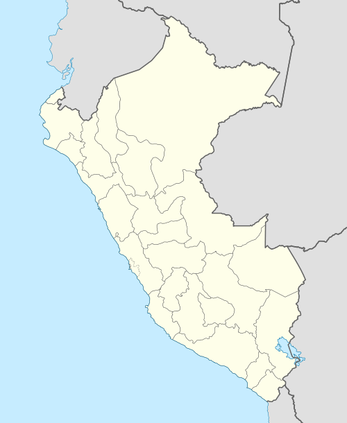
| Location | Peru, Huancavelica Region, Huancavelica Province |
| Parent range | Andes |
Chapi Urqu (Quechua chapi tin, urqu mountain,[2] "tin mountain", hispanicized spelling Chapeorcco) is a mountain in the Andes of Peru, about 4,800 m (15,700 ft) high. It is located in the Huancavelica Region, Huancavelica Province, Huacocolpa District. Chapi Urqu lies northeast of Inqhana and Yana Urqu.[1]
References
This article is issued from Wikipedia - version of the 12/6/2015. The text is available under the Creative Commons Attribution/Share Alike but additional terms may apply for the media files.