Charles Prince Airport
| Charles Prince Airport | |||||||||||||||
|---|---|---|---|---|---|---|---|---|---|---|---|---|---|---|---|
|
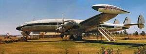
Super Constellation parked at Charles Prince Airport in 1975 and used as a clubhouse. | |||||||||||||||
| IATA: none – ICAO: FVCP | |||||||||||||||
| Summary | |||||||||||||||
| Airport type | Public | ||||||||||||||
| Serves | Harare | ||||||||||||||
| Location | Mount Hampden | ||||||||||||||
| Elevation AMSL | 4,845 ft / 1,477 m | ||||||||||||||
| Coordinates | 17°45′05″S 30°55′30″E / 17.75139°S 30.92500°ECoordinates: 17°45′05″S 30°55′30″E / 17.75139°S 30.92500°E | ||||||||||||||
| Map | |||||||||||||||
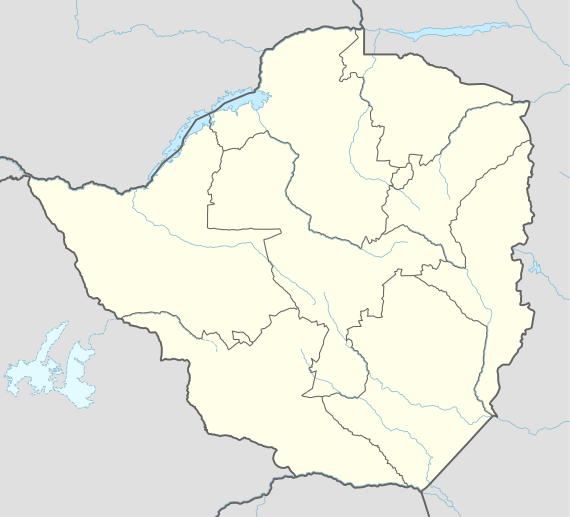 FVCP Location of the airport in Zimbabwe | |||||||||||||||
| Runways | |||||||||||||||
| |||||||||||||||
Charles Prince Airport (ICAO: FVCP), formerly named Mount Hampden and renamed after former airport manager Charles Prince[3] (who was a Royal Air Force officer during World War II), is approximately 16 kilometres (9.9 mi) northwest of Harare, Zimbabwe.
During World War II it served as a Rhodesian Air Training Group location, training pilots for the British Commonwealth Air Training Plan. In 1973 the airport was converted to civilian use.
The Harare-Charles Prince non-directional beacon (Ident: CP) is located on the field.[4][5]
See also
References
- ↑ Airport information for FVCP at Great Circle Mapper.
- ↑ Google Maps - Charles Prince
- ↑ Charles Prince obit
- ↑ CP NDB
- ↑ SkyVector Aeronautical Charts
External links
- OurAirports - Charles Prince
- World Aero Data
- Zimbabwe Military Air Bases and Airfields
- OpenStreetMap - Charles Prince Airport
- Rhodesia aviation
This article is issued from Wikipedia - version of the 12/4/2016. The text is available under the Creative Commons Attribution/Share Alike but additional terms may apply for the media files.