Charlestown Breachway State Beach
| Charlestown Breachway State Beach | |
| Rhode Island State Park | |
 Charlestown Breachway | |
| Country | |
|---|---|
| State | |
| County | Washington |
| Town | Charlestown |
| Elevation | 0 ft (0 m) [1] |
| Coordinates | 41°21′24″N 71°38′21″W / 41.35667°N 71.63917°WCoordinates: 41°21′24″N 71°38′21″W / 41.35667°N 71.63917°W [1] |
| Area | 14 acres (6 ha) |
| Established | 1952 |
| Management | Rhode Island Department of Environmental Management Division of Parks & Recreation |
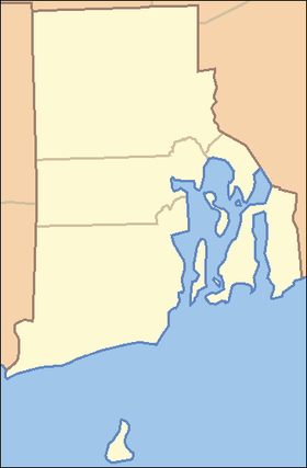 Location in Rhode Island
| |
| Website: Charlestown Breachway | |
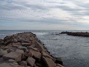
Charlestown Breachway State Beach is a state-operated recreation area on Block Island Sound next to the Charlestown Breachway in Charlestown, Rhode Island, USA.[2] Located on the east side of the manmade channel (the "Breachway") that connects Ninigret Pond with the Atlantic Ocean, the area offers 75 camping sites for self-contained RVs,[3] ocean swimming and other beach activities, salt-water fishing, and a boat launch.[4]
References
- 1 2 "Charlestown Breachway". Geographic Names Information System. United States Geological Survey.
- ↑ "Charlestown Breachway". State of Rhode Island Division of Parks & Recreation. Retrieved August 28, 2014.
- ↑ "Charlestown Breachway: Campground Details". Welcome to RI State Parks. Rhode Island State. Retrieved August 28, 2014.
- ↑ "Charlestown Breachway History". State of Rhode Island Division of Parks & Recreation. Retrieved August 28, 2014.
External links
- Charlestown Breachway Rhode Island Department of Environmental Management Division of Parks & Recreation
This article is issued from Wikipedia - version of the 4/4/2016. The text is available under the Creative Commons Attribution/Share Alike but additional terms may apply for the media files.