Chemmanthatta
| Chemmanthatta | |
|---|---|
| village | |
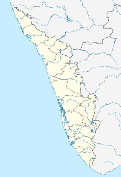 Chemmanthatta  Chemmanthatta Location in Kerala, India | |
| Coordinates: 10°38′57″N 76°06′07″E / 10.6491700°N 76.101940°ECoordinates: 10°38′57″N 76°06′07″E / 10.6491700°N 76.101940°E | |
| Country |
|
| State | Kerala |
| District | Thrissur |
| Population (2001) | |
| • Total | 5,323 |
| Languages | |
| • Official | Malayalam, English |
| Time zone | IST (UTC+5:30) |
| PIN | 680501 |
| Telephone code | 04885 |
| Vehicle registration | KL-46 |
| Nearest city | kunnamkulam |
| Lok Sabha constituency | alathur |
| Vidhan Sabha constituency | kunnamkulam |
Chemmanthatta is a village in Thrissur district in the state of Kerala, India.[1]
Demographics
As of 2001 India census, Chemmanthatta had a population of 5323 with 2511 males and 2812 females.[1]
References
- 1 2 "Census of India : Villages with population 5000 & above". Archived from the original on 2008-12-08. Retrieved 2008-12-10.
|first1=missing|last1=in Authors list (help)
This article is issued from Wikipedia - version of the 11/21/2016. The text is available under the Creative Commons Attribution/Share Alike but additional terms may apply for the media files.