Chester Moor
| Chester Moor | |
 Chester Moor |
|
| OS grid reference | NZ2649 |
|---|---|
| Unitary authority | County Durham |
| Ceremonial county | County Durham |
| Region | North East |
| Country | England |
| Sovereign state | United Kingdom |
| Post town | CHESTER LE STREET |
| Postcode district | DH2 |
| Dialling code | 0191 |
| EU Parliament | North East England |
| UK Parliament | North Durham |
|
|
Coordinates: 54°50′20″N 1°35′02″W / 54.839°N 1.584°W
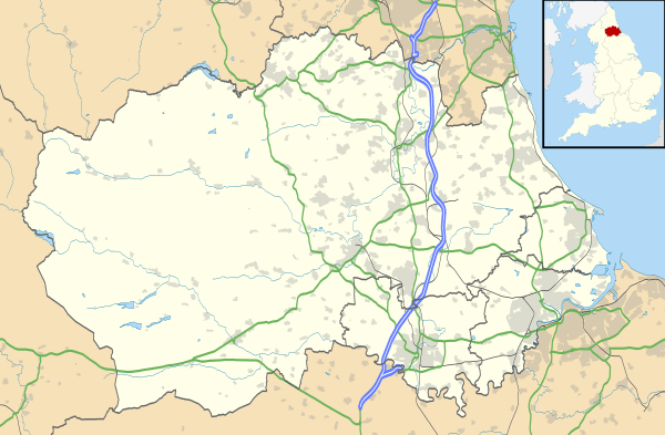
Chester Moor is a village in County Durham, England.[1][2] It is situated a short distance to the south of Chester-le-Street.
References
- ↑ Ordnance Survey: Landranger map sheet 88 Newcastle upon Tyne (Durham & Sunderland) (Map). Ordnance Survey. 2012. ISBN 9780319229989.
- ↑ "Ordnance Survey: 1:50,000 Scale Gazetteer" (csv (download)). www.ordnancesurvey.co.uk. Ordnance Survey. 1 January 2016. Retrieved 18 February 2016.
This article is issued from Wikipedia - version of the 2/17/2016. The text is available under the Creative Commons Attribution/Share Alike but additional terms may apply for the media files.