Chimore Airport
| Chimore Airport Aeropuerto Chimore | |||||||||||
|---|---|---|---|---|---|---|---|---|---|---|---|
| IATA: CCA – ICAO: SLCH | |||||||||||
| Summary | |||||||||||
| Airport type | Public | ||||||||||
| Serves | Chimore | ||||||||||
| Location |
| ||||||||||
| Elevation AMSL | 1,000 ft / 305 m | ||||||||||
| Coordinates | 16°59′23.1″S 065°8′29.4″W / 16.989750°S 65.141500°WCoordinates: 16°59′23.1″S 065°8′29.4″W / 16.989750°S 65.141500°W | ||||||||||
| Map | |||||||||||
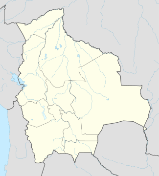 SLCH Location of Chimore Airport in Bolivia | |||||||||||
| Runways | |||||||||||
| |||||||||||
Chimore Airport (Spanish: Aeropuerto Chimore, ICAO: SLCH) is a public use airport located near Chimore, Cochabamba, Bolivia.
Airlines and destinations
| Airlines | Destinations |
|---|---|
| Boliviana de Aviación | Cochabamba[3] |
See also
References
- ↑ Airport record for Chimore Airport at Landings.com. Retrieved 2013-09-02
- ↑ Google (2013-09-02). "location of Chimore Airport" (Map). Google Maps. Google. Retrieved 2013-09-02.
- ↑ http://www.routesonline.com/news/38/airlineroute/269987/boa-adds-cochabamba-chimore-service-from-nov-2016/
External links
- Airport record for Chimore Airport at Landings.com
This article is issued from Wikipedia - version of the 11/19/2016. The text is available under the Creative Commons Attribution/Share Alike but additional terms may apply for the media files.