Clove Mountain
| Clove Mountain | |
|---|---|
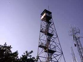 Fire tower atop Clove Mountain, with cell tower visible. | |
| Highest point | |
| Elevation | 1,400 ft (427 m) [1] |
| Prominence | 615 ft (187 m) [1] |
| Coordinates | 41°41′18″N 73°41′35″W / 41.68831°N 73.69299°WCoordinates: 41°41′18″N 73°41′35″W / 41.68831°N 73.69299°W [1] |
| Geography | |
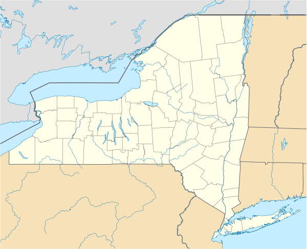 Clove Mountain Location in New York | |
| Location | Union Vale, New York, U.S. |
| Topo map | USGS Verbank |
Clove Mountain is a small mountain in Dutchess County, New York. Its peak elevation is 1400 feet above sea level. It is the site of a Verizon Wireless cell tower, a Dutchess County 911 Radio Repeater, and a fire tower that is no longer in service.
References
- 1 2 3 "Clove Mountain". Peakbagger.com.
This article is issued from Wikipedia - version of the 9/14/2016. The text is available under the Creative Commons Attribution/Share Alike but additional terms may apply for the media files.