Conness Glacier
| Conness Glacier | |
|---|---|
 | |
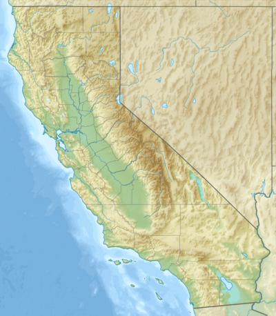 Conness Glacier Location in California | |
| Type | Mountain glacier |
| Location |
Mount Conness, Mono County, California, United States |
| Coordinates | 37°58′13″N 119°19′07″W / 37.97028°N 119.31861°WCoordinates: 37°58′13″N 119°19′07″W / 37.97028°N 119.31861°W[1] |
| Length | .15 mi (0.24 km) |
| Terminus | Talus |
| Status | Retreating |
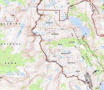
Map of the Mount Conness area
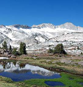
The Conness Glacier is on the steep northeast cirque of Mount Conness, east of the Sierra Nevada crest, in the U.S. state of California.[2] The glacier is situated at about 11,548 feet (3,520 m).[1] and can be seen from Saddlebag Lake to the east. The glacier is the largest glacier in the Sierra Nevada north of Tioga Pass or Highway 120.
See also
References
- 1 2 "Conness Glacier". Geographic Names Information System. United States Geological Survey. Retrieved 2012-09-30.
- ↑ Tioga Pass, CT (Map). TopoQwest (United States Geological Survey Maps). Retrieved 2013-02-09.
This article is issued from Wikipedia - version of the 12/24/2015. The text is available under the Creative Commons Attribution/Share Alike but additional terms may apply for the media files.