Cooch Behar Airport
| Cooch Behar Airport কোচবিহার বিমানবন্দর Kōcabihāra Bimānabandara | |||||||||||
|---|---|---|---|---|---|---|---|---|---|---|---|
| IATA: COH – ICAO: VECO | |||||||||||
| Summary | |||||||||||
| Airport type | Public | ||||||||||
| Operator | Airports Authority of India | ||||||||||
| Serves | Cooch Behar | ||||||||||
| Location | Cooch Behar, India | ||||||||||
| Elevation AMSL | 138 ft / 42 m | ||||||||||
| Coordinates | 26°30′00″N 089°40′00″E / 26.50000°N 89.66667°E | ||||||||||
| Map | |||||||||||
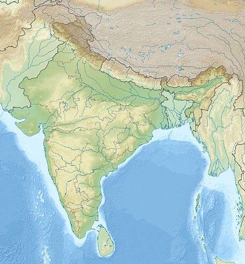 Cooch Location of airport in India | |||||||||||
| Runways | |||||||||||
| |||||||||||
|
Sources[1] | |||||||||||
Cooch Behar Airport (IATA: COH, ICAO: VECO)[1] is located at Cooch Behar, West Bengal, India and serves the greater Assam-Bengal border area.[2]
Facilities
The airport is located at an elevation of 138 feet (42 m) above mean sea level. It has one runway designated 04/22 with an asphalt surface measuring 3,500 by 100 feet (1,067 × 30 m) without Instrument landing system.[3]
Airlines
Proposed: Kolkata to Cooch Behar,Cooch Behar to Delhi and Cooch Behar to Mumbai
See also
References
External links
This article is issued from Wikipedia - version of the 11/27/2016. The text is available under the Creative Commons Attribution/Share Alike but additional terms may apply for the media files.