Copper Mountain (British Columbia)
- This page is about the mountain in the Boundary Country near Greenwood, British Columbia. For the ghost town and former mine near Princeton see Copper Mountain, British Columbia
| Copper Mountain | |
|---|---|
 Copper Mountain
| |
| Highest point | |
| Coordinates | 49°07′27″N 118°47′23″W / 49.12417°N 118.78972°WCoordinates: 49°07′27″N 118°47′23″W / 49.12417°N 118.78972°W [1] |
| Geography | |
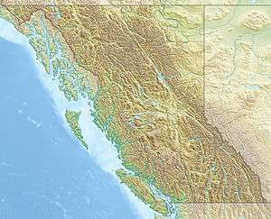
| Location | British Columbia, Canada |
| Topo map | NTS 82E/2 |
Copper Mountain is a mountain in British Columbia, north of Greenwood and north-west of Grand Forks.[1]
References
This article is issued from Wikipedia - version of the 12/23/2013. The text is available under the Creative Commons Attribution/Share Alike but additional terms may apply for the media files.