Coronel FAP Alfredo Mendívil Duarte Airport
| Coronel FAP Alfredo Mendívil Duarte Airport | |||||||||||
|---|---|---|---|---|---|---|---|---|---|---|---|
| IATA: AYP – ICAO: SPHO | |||||||||||
| Summary | |||||||||||
| Airport type | Public | ||||||||||
| Operator | CORPAC S.A. | ||||||||||
| Location | Ayacucho | ||||||||||
| Elevation AMSL | 8,917 ft / 2,718 m | ||||||||||
| Coordinates | 13°09′15″S 74°12′15″W / 13.15417°S 74.20417°WCoordinates: 13°09′15″S 74°12′15″W / 13.15417°S 74.20417°W | ||||||||||
| Map | |||||||||||
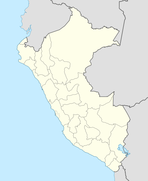 AYP Location of the airport in Peru | |||||||||||
| Runways | |||||||||||
| |||||||||||
Coronel FAP Alfredo Mendívil Duarte Airport (IATA: AYP, ICAO: SPHO) is an airport serving Ayacucho, Peru. It is managed by CORPAC S.A. (Corporación Peruana de Aeropuertos y Aviación Comercial S.A.), a government organization that oversees Peruvian airports. It is the main airport of the Ayacucho Region.
The runway sits on a mesa overlooking the Totorilla River, with high terrain in all quadrants.
The Ayacucho non-directional beacon (Ident: AYA) is located on the field.[3][4]
Airlines and destinations
| Airlines | Destinations |
|---|---|
| LATAM Perú | Lima |
| LC Perú | Lima |
See also
References
- ↑ Airport information for AYP at Great Circle Mapper.
- ↑ Google Maps - Ayacucho
- ↑ SkyVector AYA
- ↑ OurAirports AYA NDB
External links
- Airport information for SPHO at World Aero Data. Data current as of October 2006.
- OurAirports - Ayacucho
- SkyVector Aeronautical Charts
- OpenStreetMap - Ayacucho
This article is issued from Wikipedia - version of the 9/28/2016. The text is available under the Creative Commons Attribution/Share Alike but additional terms may apply for the media files.